Editorial: Put yourself on the map for your representation
Published 1:30 am Friday, September 17, 2021


By The Herald Editorial Board
Among the more consequential outcomes of the nation’s census — the count made of every person in the U.S. every 10 years — is how those numbers are used to draw the maps that determine district boundaries for Washington’s Legislature and the state’s representatives in the U.S. House.
Those maps are now being drawn, and Washington residents have their opportunity to put themselves on the map by helping to determine the boundaries of the districts that represent them and their communities.
There will be some old lines erased and new lines laid down with changes for many in who represents them.
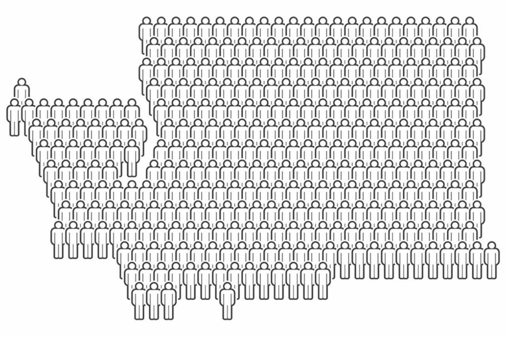
Washington state — and Snohomish County — did indeed see population increases in the 2020 census since the last count in 2010. The state added more than 980,000 people for a total population of 7.7 million people, a 14.6 percent increase; Snohomish County grew at a bit quicker rate of 16.1 percent, adding 114,622 residents for a total population of nearly 828,000.
The census results won’t affect the size of either the Legislature or the state’s number of congressional districts; the Legislature is set at 49 legislative districts, each with a senator and two representatives. The same largely holds true for Congress; unless a state or two is added between now and 2022, the size of Congress will remain the same, regardless of the census: 100 senators and 435 voting representatives. (However, some states will add or subtract House members, depending on whether they lost or gained significant population. Washington won’t be among those adding to its delegation; it last gained a seat in 2010.)
But what does change with each census are the boundaries for the legislative and congressional district in which citizens vote. Those boundaries shift, primarily, to keep districts at a relatively equal populations. Following the 2020 census, the state’s new congressional districts for each of its 10 members of the U.S. House will each represent about 770,000 residents, up from 672,000 in 2010, while each of the state’s legislative districts will represent about 157,000 people.
The good news for Washington residents and their representation at the state and national level, is that party politics play less of a role than they do in other states where Legislatures are responsible for drawing boundaries and the majority party has greater say in how those boundaries are drawn. That’s often led to charges of gerrymandering, the practice of drawing boundaries so that the majority party is nearly guaranteed to keep majority control.
It wasn’t always so in Washington state. For decades, few changes were made to boundaries until objections were raised by the League of Women Voters in the 1930s and ’40s and an initiative was approved by voters in 1956 to redraw districts based on census data, according to a 2019 history of redistricting by the Washington State Wire. With the process left in the hands of the Legislature, however, political battles and lawsuits followed until the 1980s, when even state lawmakers had had enough and appointed a five-person bipartisan commission in 1982 and a law passed in 1983 to constitutionally adopt that system.
That system has largely worked well to represent the state’s political leanings, at least by one measure. In the 2020 election, about 58 percent voted for Democrat Joe Biden, while 39 percent voted for Republican Donald Trump. The state’s congressional delegation hews fairly close to that party split with seven Democratic House members and three Republicans, with one district — the 8th — swinging between the two parties in recent elections.
The state’s five-person commission remains with two members selected by Republicans, two by Democrats and a non-voting chairperson, who is selected by the other four members. Three of the four voting members must agree on the final boundaries for districts, with the Legislature — currently with Democratic majorities in the House and Senate — able only to make minor adjustments to the maps. If the process isn’t complete by the deadline — Oct. 22 — the state Supreme Court has the final say on boundaries.
Because of the covid-19 pandemic — and the resulting delay in getting numbers and demographic data from the U.S. Census Bureau — that deadline has allowed less time than in the past to complete the process. Which is where state residents — with the assistance of the internet — can have a say in determining where the lines are drawn and with which considerations.
If a district’s population were the only criteria, it might be a fairly simple task. But in addition to population, the commission also is tasked with ensuring districts are compact and contiguous, keep communities of similar interests together, limit splitting of cities, limit divisions of Native American reservations and other communities, assure minorities have an equal opportunity to elect representatives of their choice, and don’t favor or discriminate against a particular party or group. In other words, no gerrymandering.
To draw the maps, the Washington State Redistricting Commission is asking for participation, not solely comment on map proposals but proposals for constituent’s own maps.
The commission is currently taking comments in writing and at upcoming online community forums, seeking information that:
Describes and defines your community and what makes it a community;
Proposes a district map using the commission’s Draw Your WA mapping tool; and
Sharing testimony with the commission about support, opposition and suggestions for map proposals.
The commission will publish proposed maps online for state legislative districts on Sept. 21 and for congressional districts on Sept. 28.
Statewide online public meetings with opportunity to submit comment will follow from 7 to 10 p.m. Oct. 5 and 10 a.m. to 1 p.m. Oct. 9.
Along with voting, participation in how your districts are drawn — and getting to know what other communities are in your legislative and congressional districts — is important in assuring your voice is heard in determining who represents you in Olympia and in Washington, D.C.
Maps can tell us how to get to where we want to go, but first we have to draw them.
Draw Your WA
For more information and links about maps, meetings and how to submit comment to the redistricting commission, go to redistricting.wa.gov.
The League of Women Voters of Washington also has information, draft maps, mapping and comment tools and concerns specific to Snohomish and Island counties available at lwvwa.org/maps.