Snohomish County developing update to road safety plan
Published 12:18 pm Monday, July 20, 2026
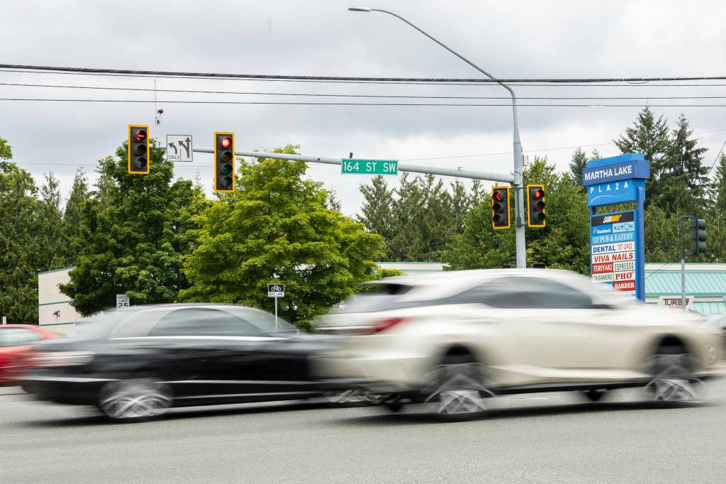
EVERETT — Snohomish County is updating a road safety plan to look for ways to improve traffic safety across the county and reduce the number of fatal and serious injury crashes, the county announced earlier this week.
The planning work, funded by a Safe Streets for All grant, will eventually develop a prioritized list of improvement projects that the county will hope to undertake across its road network in the coming years. In addition, the grant funds data analysis work in the county that will help it identify areas where road improvements could be needed in the future.
The update to the Road Safety Action Plan, as it’s known, comes just a couple of years after the county created a an initial version in 2022 to address deaths and serious injuries on county roads.
As part of the 2022 road safety plan, the county developed a map tracking roads where serious injuries and fatal crashes are most common, known as a “high-injury network.” The county found that more than half of all serious injury and fatal crashes occur on less than 10% of its road miles.
Between 2014 and 2024, the number of crashes in the county remained relatively flat, dropping from 12,539 in 2014 to 12,458 in 2024, according to county data. But the number of fatal crashes nearly doubled; from 31 in 2014 to 57 in 2024.
Lots of different factors can contribute to a crash. In recent years, officials have been seeing more risk-taking behavior from drivers, particularly with increases in speeding and impaired driving, said Christina Curtis, a transportation specialist at the county’s public works department who manages the road safety program. Road geometry could also be a factor, she said, and the planning work could identify areas where the county could reduce speed limits, widen shoulders, move objects further away from roads or add buffers to bicycle lanes.
“The bottom line is that crashes are so complex that we do have to take these many approaches,” Curtis said in an interview Thursday. “All of the elements of safer people, safer roads, safer speeds, safer land use, post-crash care, safer vehicles. All of those elements, we’re looking at them.”
With the updated plan, the county is also developing a “high-risk network,” a map tracking roads where the likelihood of crashes may be higher, due to variables like the width of a shoulder along a road, the speed limit or the presence fixed objects just off of a road.
“The high risk network really looks at the geometry and structural elements that can lead to a crash, not just looking backward at crash data that has happened,” Curtis said. “We’re really trying to be proactive in our approach.”
Part of the approach includes looking for ways to design and operate the county’s road systems to accommodate, as best as possible, people who make mistakes when using roads.
“People are going to make mistakes,” Curtis said. “We can’t educate or enforce mistakes out of the human condition, so how do we operate our system to accommodate that?”
Also included as part of the planning work is a new data portal included in an online open house, developed in partnership between Snohomish County’s public works department and the county Health Department.
That portal includes maps showing both the roads flagged as being highest risk and those which have seen the most severe crashes. It also includes a third map laying out every crash in Snohomish County between 2020 and 2024, with each data point including the time and date of the crash as well as any factors identified as reasons for the crash.
Peter Maier, an epidemiologist with the health department who helped compile the data, said the goal was to present it to the public in a way that was accessible and easy to understand.
“Our goal really is to just share what the data is saying and give people the facts, so when they go get behind the wheel, they can have that information in their head to make safer decisions on the road,’ Maier said.
Possible improvements to the road network that could be recommended by the plan may include new crosswalks, shared-use pathways for cyclists and pedestrians, buffered bike lanes, narrower car lanes, lower speed limits and roundabouts, the county wrote in its open house.
Officials are hoping to gather feedback from residents about improvements that could be made to Snohomish County’s road system, both throughout the entire 1,600-mile network and in their own neighborhoods.
“We don’t see their specific neighborhood, their specific trip to and from school or to and from work everyday, so maybe there’s a location that they have an interest in. We want to hear about that,” Curtis said. “That’ll help us say, ‘We’re hearing so many comments about this neighborhood or location, has that come up in our analysis? Should it be something we’re considering?’”
County staff hope to publish a list of priority safety improvement projects by the end of the year, Curtis said, with the goal of completing a final draft of the plan in the beginning of 2027.
The county is accepting feedback on its open house through Sep. 15. It is available online at arcg.is/9TG5v5.
Will Geschke: 425-339-3443; william.geschke@heraldnet.com; X: @willgeschke.