Rain brings smoke relief, but risk of slides in Bolt Creek aftermath
Published 4:45 pm Friday, October 21, 2022


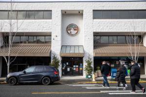
EVERETT — The Puget Sound region is finally free of smoke, but experts warned of new risks as the rainy season sets in.
Ocean winds early Friday broke the stagnant weather pattern that kept wildfire smoke over Western Washington, said Dustin Guy, a meteorologist with the National Weather Service’s Seattle office. The breeze brought Everett’s AQI reading on Friday to 31, down from over 250 on Wednesday. Anything over 100 is considered unhealthy.
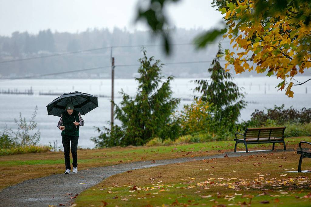
Rain will linger into Saturday morning, said Guy, then another storm is expected late Sunday. And another Monday. And so on.
“It feels really unusual now, these cool temperatures and rain clouds, but this is actually what’s normal for late October,” Guy said.
At Seattle-Tacoma International Airport, more rain fell in the 3 p.m. hour Friday — about five-hundredths of an inch — than in the previous 34 days combined, the National Weather Service reported on Twitter.
After such a long dry spell, rain presents its own set of hazards. Besides the problems familiar to Washington drivers, like hydroplaning and oil slicks, experts warn burn scars left by recent wildfires are at high risk of causing debris flows and mudslides.
With no vegetation to absorb rainfall, Guy said, burned-over landscapes are essentially water-repellent. That increases the likelihood of flash floods and slides in mountain passes and valleys.
Experts are especially monitoring the burn scar left by the Bolt Creek fire north of Skykomish because of its proximity to U.S. 2, said RB McKeon, a spokesperson for the state Department of Transportation. The section of highway between milepost 38, east of Index, and milepost 50, east of Skykomish, is a primary concern.
McKeon encouraged residents of the Skykomish River valley to stock up on groceries and other necessities as soon as possible to avoid travel on U.S. 2 during heavy rainfall. Drivers should call 911 to report any downed trees or debris in the roadway.
“We aren’t seeing immediate threats as of now, but debris flows and slides can come without any warning,” McKeon said. “It’s something we’ll need to keep an eye on as a potential threat for the next several months.”
Two to 4 inches of snow could fall on mountain passes starting late Friday, Guy said. Stevens Pass is expected to remain open as of Friday afternoon, but Guy recommended travelers check WSDOT’s pass cameras and weather forecasts regularly going forward.
Riley Haun: 425-339-3192; riley.haun@heraldnet.com; Twitter: @RHaunID.