Bolt Creek wildfire now at 10,000 acres; U.S. 2 stays closed
Published 4:00 pm Monday, September 19, 2022


INDEX — U.S. 2 will remain closed at least until Tuesday afternoon near Skykomish, as falling trees, rocks and debris from the Bolt Creek fire continued to pose safety risks.
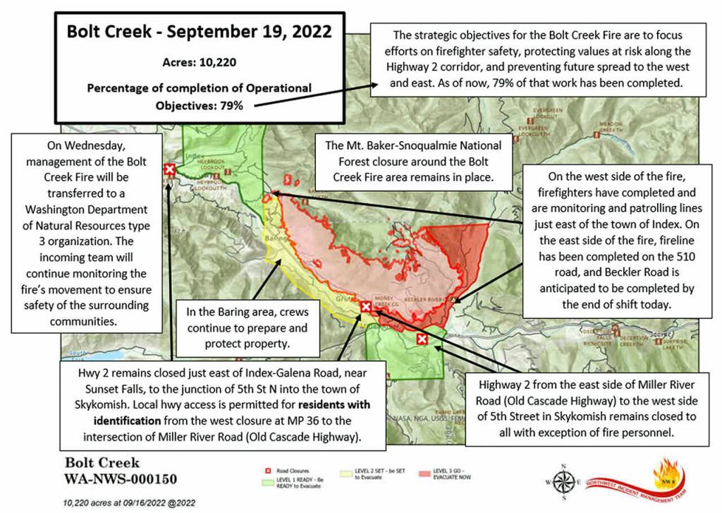
After aircraft mapped the wildfire over the weekend, its estimated size increased to 10,220 acres.
Smoke flooded the Skykomish and Snoqualmie river valleys Monday, as winds shifted and created a triangular plume of smoke, with its three corners roughly in Skykomish, Shoreline and Arlington — in other words, almost all of Snohomish County.
The Air Quality Index was 195 in Index, the nearest population center west of the fire.
Gold Bar, Sultan, Monroe and Duvall all had readings above 150, the point where the air is considered unhealthy for everyone, according to the U.S. Environmental Protection Agency.
Due to the unhealthy air quality, the Monroe School District held recess and physical education classes inside and canceled all local outdoor athletic practices and games, according to an alert on the district’s website.
“Visibility changed yesterday as cloud cover cleared and smoke caused by smoldering and creeping of the duff layer became more visible,” the Northwest Incident Management Team 8 wrote in a daily update Monday. “The strategic objectives … are to focus efforts on firefighter safety, protecting values at risk along the (U.S. 2) corridor, and preventing future spread to the west and east. As of now, 79% of that work has been completed.”
Firefighters were using a new metric — how many containment “objectives” had been completed — rather than the more conventional percentage of actual wildfire “contained.”
“Our approach was never to contain this fire 100 percent, since we aren’t actually putting people into the north end,” said Jeremy Gottfried, planning and operations trainee for the incident management team.
The Bolt Creek fire erupted to over 3,000 acres in one day on Sept. 10, in rugged terrain just north of Skykomish and west of Beckler River, raining ash across Snohomish County. Hundreds of residents along U.S. 2 were ordered to evacuate, but most of those warnings have been lifted as weather has helped to temper the fire.
For residents, the evacuation orders Monday were as follows:
Level 1 (Be Ready!): Index and Skykomish.
Level 2 (Get set!): Baring, Grotto and U.S. 2 east of the Money Creek tunnel.
Level 3 (Go now!): From the west side of the Money Creek tunnel to milepost 48 (Skykomish), plus Forest Service Road 65, aka Beckler River Road.
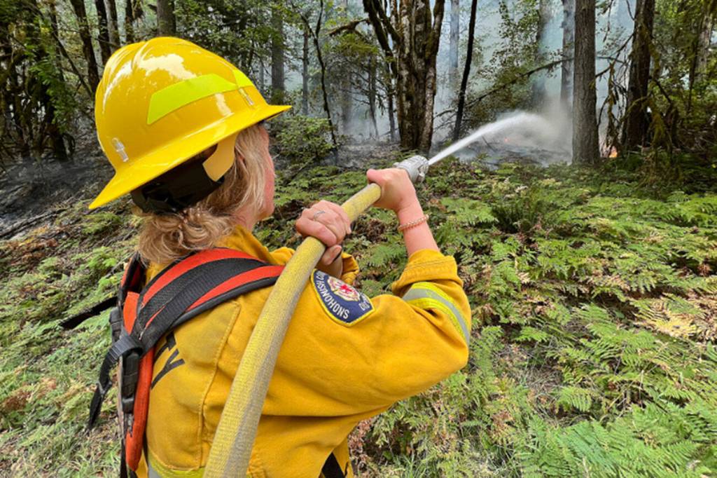
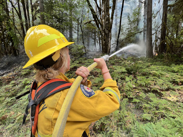
Over 300 crew members were still part of the fire response as of Monday.
Evacuation levels were set to be reassessed on Wednesday, when the fire’s management will be lateraled to the Western Washington Type 3 Team.
The highway remained closed to the general public for about a 13-mile stretch, just east of Index-Galena Road to the junction of Fifth Street North in Skykomish. The state Department of Transportation planned to reevaulate the closure and risks Tuesday afternoon.
A burn ban will remain in effect in the area until rain smothers the fire.