Marysville could get $250,000 in federal money for flood mitigation
Published 1:30 am Tuesday, December 12, 2023
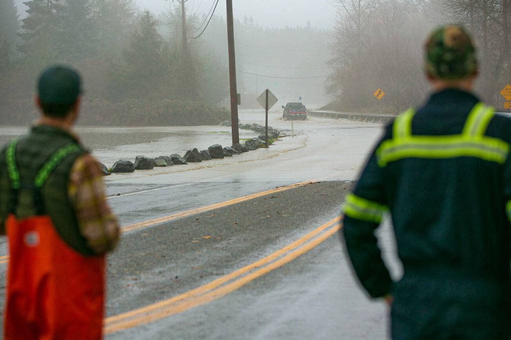

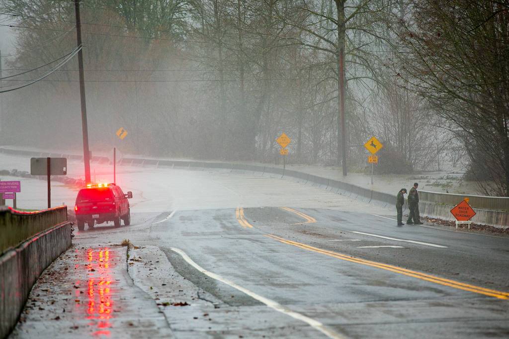


MARYSVILLE — Days after severe flooding, a proposed Snohomish County Council ordinance would give $250,000 in American Rescue Plan Act money to the city of Marysville to help with the problem.
The flooding mitigation funding would go toward studying dikes near the city and the local impact of sea level rise. Over $100,000 would be earmarked for creating plans to manage the problem. The money is part of a bigger pot of $2 million in the form a federal grant to Stanwood and Marysville.
In Stanwood, the scene of record river Snohomish County flooding last week, the $1.75 million is going toward levees and fish passage. In Marysville, the city will study flood protection improvements.
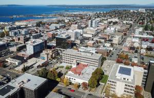
Washington is one of the most flood-prone states in the country. Marysville is often impacted by high tides, a growing problem in the city.
“The City has experienced minor overflow, during significant King Tide cycles, for the last decade,” the proposed ordinance reads. “These overflow events appear to be increasing in severity and duration.”
Council member Megan Dunn introduced the ordinance. It will be discussed during a Tuesday council committee meeting. If approved, the grant would run from Sept. 14, 2023, to June 30, 2026.
About $25,000 would go toward an “asset ownership” report for Diking District 3, which “appears inactive” according to the ordinance. Diking districts are small special districts based on land ownership that help maintain dikes. Dikes are a water control system using barriers to protect a certain area.
Diking District 3 includes Jennings Nature Park and extends north of Ebey Slough.
“Diking District 3’s inactivity creates additional instability for the City as it addresses flood control concerns,” the ordinance notes.
The impacts of climate change — specifically sea level rise — would garner $65,000 to study what the city would need to do protect its critical infrastructure. A draft of Marysville’s Climate Vulnerability Assessment states sea levels could rise 1.4 feet on average by 2050 and 3.3 feet on average by 2080 near the city.
Those rises, “will have major impacts on shoreline ecosystems, transit routes, and other critical facilities in Marysville,” the draft measure reads.
The existing levee protects the city’s only wastewater facility, as well as its public works facility. Ebey Waterfront Trail and Ebey Waterfront Park would also be studied, according to the ordinance.
The levee around the wastewater facility was built by the Tulalip Tribes as part of a plan to restore an estuary in the area.
In 2022, Ebey Waterfront Park was under a foot of water in some places during a flooding event exacerbated by high tides.
Jordan Hansen: 425-339-3046; jordan.hansen@heraldnet.com; Twitter: @jordyhansen.