Why are Snohomish County rivers susceptible to flooding?
Published 5:00 pm Thursday, December 7, 2023
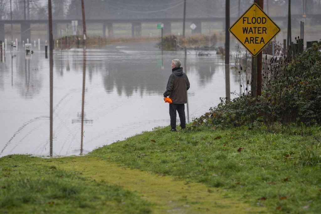
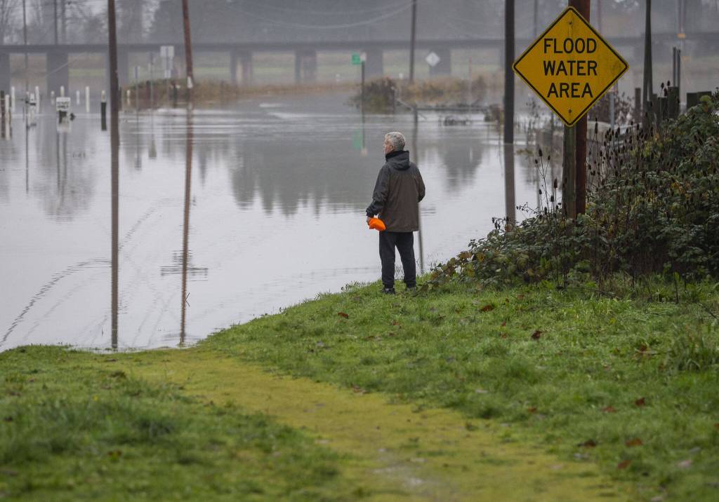
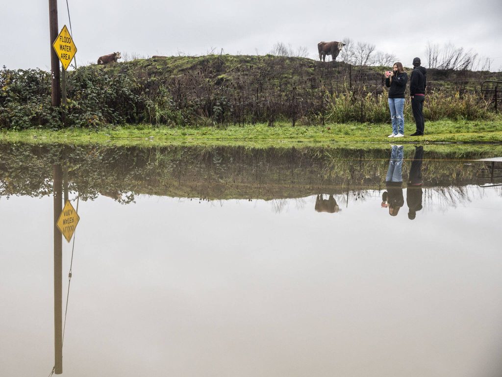
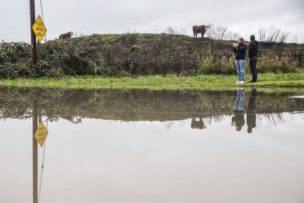


EVERETT — Washington is one of the most flood-prone states.
The U.S. Geological Survey has been monitoring streamflow on the north fork of the Stillaguamish River since 1928. And despite preparation investments and restoration efforts, floods continue to plague Western Washington.
Why?
Quite simply, Western Washington’s location next to the Pacific Ocean and two mountain ranges, said National Weather Service hydrologist Brent Bower.
“When we get storms that come off of Canada, they’re much drier because they’re coming in over land,” said Bower. “The air going over the mountains really increases rainfall rates.”
Western Washington rivers, like the Stillaguamish, travel down steep slopes, gaining speed before flowing out to the flat, tidal areas near Puget Sound. This dramatic change in elevation can cause pooling as floodwaters meet saltwater.
“The river is trying to pour out and there’s no place to go,” Bower said.
Melted lowland snowpack can add a bit to river levels, typically between 15% to 25% more water, Bower said.
“It can make a difference. It can make it worse. It can be noticeable, but it’s certainly not the cause of floods,” he said. “We certainly have major floods without any snow as well.”
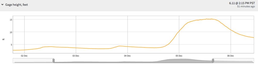
Just before the Stillaguamish River reached record levels this week, temperatures rose into the 40s in the North Cascades, contributing to melting snowpack.
Even so, all of the largest floods in Western Washington have been caused by intense rainfall from atmospheric rivers that linger for days at a time, according to a report from the U.S. Geological Survey. Atmospheric rivers are narrow bands of low-level water vapor that produce large amounts of rain when they collide with mountain ranges — and we have two of them nearby, in the Cascades and Olympics.
Storm systems often form in the convergence zone north of Seattle, after westerly winds flow around the Olympic Peninsula and reconnect over Puget Sound.
“Atmospheric rivers can be strong or they can be weak,” Bower said. “And if they’re weak, it’s typically what we consider just normal rain or beneficial rain. On the stronger end, it can cause flooding.”
River forecasts are also complicated, making floods — not just in Snohomish County — difficult to predict. One factor forecasters measure is infiltration, or how quickly water soaks into the ground.
The shape of the landscape partially determines how much water the area can absorb. But stream beds can change character during floods, rendering previous measurements almost moot.
“When you have a big flood, and there’s a whole bunch of water there, there’s a lot of force and that’s a prime time for it to be changing the stream bed,” Bower said. “It starts eroding — or it’s depositing stuff.”
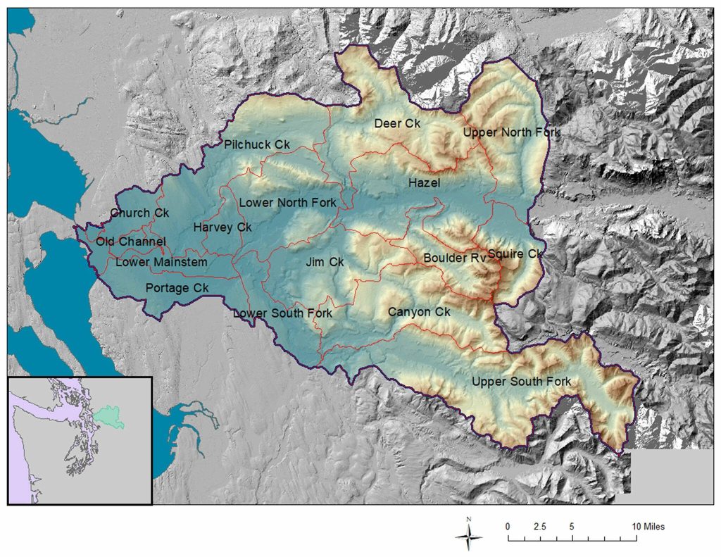
The U.S. Geological Survey’s historic record of Snohomish County rivers enables partner agencies like the weather service to better predict future conditions, said Washington Science Center spokesperson Sarah Dunn.
But in Snohomish County’s unique river basins, the landscape and nature of floods can undergo dramatic changes in short periods of time.
The National Weather Service initially expected the Stillaguamish River to get to “minor” flood stage this week, but on Tuesday it reached a record high. Meanwhile, the forecast of moderate flooding along the Snohomish was almost spot on — partly because so many of its tributaries are well monitored with gauges upstream.
Bower said: “There’s a lot of uncertainty of exactly what’s going to happen.”
Ta’Leah Van Sistine: 425-339-3460; taleah.vansistine@heraldnet.com; Twitter: @TaLeahRoseV.