Avoiding avalanches: How to know and where to go
Published 1:30 am Sunday, February 28, 2021


Washington Trails Association
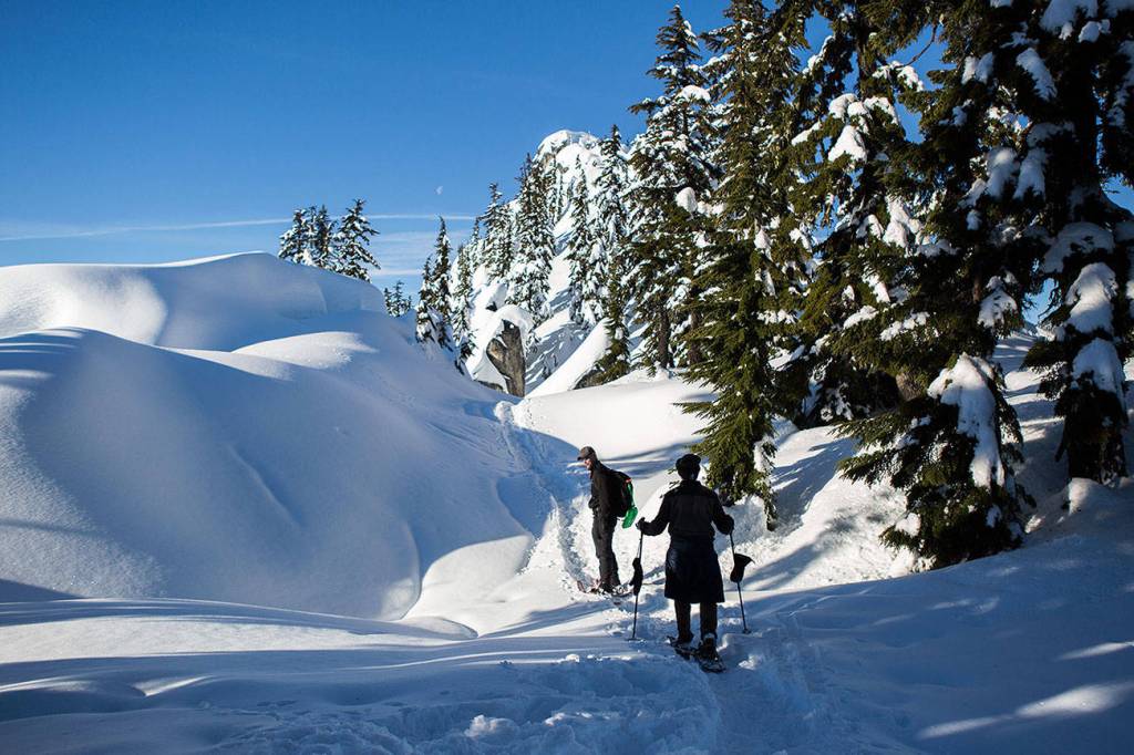
A great summer trail doesn’t always translate into a great winter trail. When snow blankets the mountains, the conditions change and terrain that used to be harmless can pose new dangers such as avalanches.
But there is no reason to stay home during the snowy months. Plenty of great hikes exist with or without snow so you can experience all the beauty of winter firsthand while staying safe. Read on to learn about which areas to avoid and how to determine if a trail is safe for winter travel.
Do your research
Winter and spring in Washington are tricky seasons for hikers and snowshoers. Temperature, precipitation, snow conditions and hazards can fluctuate dramatically. What was a safe snow-free hike a week ago is now a treacherous route through avalanche backcountry.
Follow these tips for researching on-the-ground conditions from the climate controlled comfort of your home or local library:
Check avalanche conditions. The Northwest Avalanche Center is a great reference for hazardous areas and the Washington Snow Map will tell you which trails are buried.
Check the weather. The National Weather Service’s mountains forecast page has detailed and accurate information for all of Washington.
Check road conditions. WSDOT provides information on mountain pass conditions.
Consult the experts. Call ahead to ranger stations and check the Washington Trail Association’s Hiking Guide and Trip Reports for current conditions, remembering that trip reports are hiker-generated, and all hikers have different skill-levels and experience.
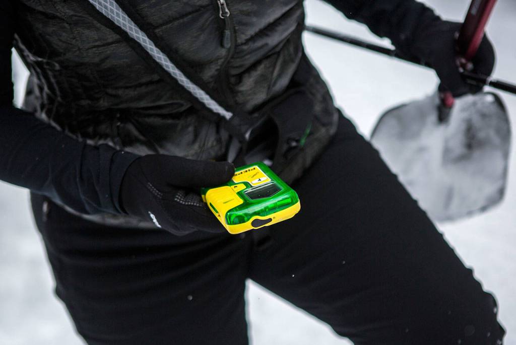
If you do choose to head out in the snow, be sure to get prepared by brushing up with these winter safety tips.
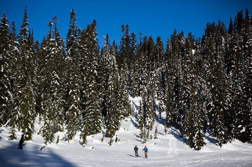
Consider a snow-free hike
“Is there still snow on trail?” In Washington, hikers may be asking that question well into July. While hikers wait for the high country to melt, they can explore the many other wonders of Washington hiking, from waterfalls to wildflowers, to rugged coasts with the help of these WTA tools:
Hiking Guide: The WTA Hiking Guide provides detailed information on thousands of hikes across the state. If you know the snow level, you can filter results by the high point of the trail, and only see results that are snow-free. You can also search by region, or feature, such as coast or wildflowers.
Hike Finder Map: Sometimes it is easier to find a good snow-free hike by searching geographically. Our handy Hike Finder Map is the perfect tool for zoning in on the low-lying foothills or a section of coast that is sure to be snow-free.
Trip reports: Once you narrow in on a hike, the best way to learn about its current condition is to read the recent trip reports from fellow hikers who just experienced the trail conditions firsthand.
Hiking by season: If you’re not sure where to start, we have done the research for you. Go here to find lists of great hikes organized around different themes. In our winter section there is information on everything from snow-free hikes, to beginner snowshoes, to Nordic skiing.
Trails to save for summer
Below are some examples of the types of trails best avoided during the winter. Many trails that are easy day hikes in summer can turn deadly in winter or spring, including the following:
Granite Mountain: This snowshoe can be a tempting choice because it’s so close to Seattle, but the trail crosses a known avalanche chute, so it’s best avoided this time of year.
Big Four Ice Caves: Winter, summer, spring or fall, it is never safe to enter an ice cave, no matter how stable they might seem. In addition to spontaneous collapse, there is high risk in winter from avalanches off the mountain that feeds these caves.
Lake 22: A great day hike in summer, it can be avalanche prone in winter. It’s best to wait until the snow is melted on this popular Mountain Loop Highway trail.
Mount Dickerman: The steep, sheer cliffs at the top of this trail offer stunning views in summer, but can pose dangers to hikers punching through features like cornices and thawing ice bridges in winter and spring.
Mount Pilchuck: Snow lingers later than you might think (into June) on this popular trail, leading to injuries every season, most often from hikers punching through snow and ice bridges covering large boulders near the top. If you want to beat the crowds on this popular hike, don’t feel like you need to rush the season. Just tackle it on an early summer morning in July or August.
Iron Goat Trail: A rail trail close to Stevens Pass, this trail is lined with avalanche chutes. Take a walk along this one only once the avalanche danger is low or the snow is gone completely.
These trails are just a few examples of what to beware of this time of year. When in doubt, research the current conditions or choose a snow-free hike instead.
Avalanche danger
Washington has seen numerous large and destructive avalanches this February.
The Northwest Avalanche Center reports that it hasn’t forecasted extreme avalanche danger like this in years. U.S. 2 over Stevens Pass has been closed for long periods of time due to continuing avalanche conditions.
The Cascades have stacked up 3 to 8 feet of new snow just this month. With recent heavy rain, snowy peaks and strong winds, there is potential for more avalanches.
Check the Northwest Avalanche Center and WSDOT websites for the latest conditions.