Road crews poised for 1-3 inches of snow in Snohomish County
Published 1:30 am Wednesday, December 7, 2016
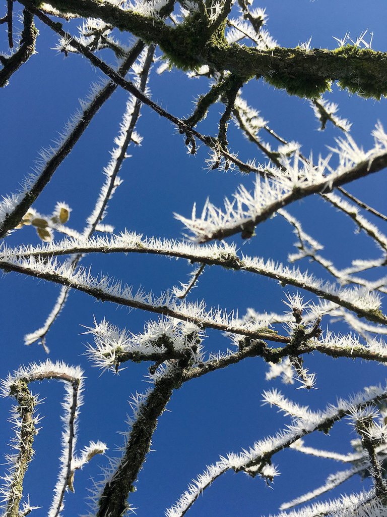


EVERETT — A winter storm heading north could carry between one to three inches of snow to the Everett area Thursday.
The National Weather Service in Seattle has issued a winter storm advisory for much of Western Washington, including Snohomish County. The advisory is in effect late Thursday afternoon through Friday morning in the lowlands.
The state Department of Transportation has spent the past few months preparing for winter storms. Crews plan to apply anti-icing chemicals to pre-treat roadways before the storm, WSDOT spokeswoman Harmony Weinberg said.
Snow levels may reach as low as sea level, Weather Service meteorologist Johnny Burg said. That means even the lowlands could see a healthy dose of snow.
A high of 35 is forecast for Everett on Thursday. Night temperatures are expected to dip into the mid-20s.
If snow begins to fall, WSDOT crews plan to use sand and salt on roadways.
Salt melts the snow. Sand helps with traction.
The game plan for crews and snow plows is flexible. They can be sent to areas that are hit hardest by the storm.
WSDOT pays special attention to bridges, overpasses, highway ramps and sharp curves.
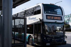
In past the past, Community Transit has seen sharp decreases in the number of people using public transportation during winter storms. Ridership usually is cut in half, spokesman Sean Christensen said.
Many opt to stay home.
Since the brunt of the storm is not expected to hit until after regular commuting times, Christensen said this may not be the case.
For those who plan to travel in their own cars, Weinberg urges patience.
“If you’re going to hit the road, make sure you have a full tank of gas, food and blankets in case your trip from Seattle to Snohomish County that normally takes its regular time, and you have to add two hours,” she said.
The Cascade Range also is under a winter weather advisory from Thursday afternoon until 3 a.m. Saturday. Between four and eight inches of snow can be expected.
Communities near the mountains, such as Darrington, are forecast to get between one to three inches of new snow Thursday. Three to seven inches are expected Thursday night.
Snow is forecast to continue through Friday, accumulating an additional two to four inches.
Travel over mountain passes may be tricky. In addition to the snow, drivers also should be prepared for sleet, ice and freezing rain.
Slow down and increase following distance, Sgt. Mark Francis with Washington State Patrol said.
On Tuesday, a trooper was heading west on U.S. 2. when a pickup truck attempted to pass on the left. When the pickup pulled in front of the trooper, the driver lost control. The truck spun out across the eastbound lane, struck the railing and slid into the trooper’s vehicle.
“For you to get cited, it doesn’t mean you’re going over the speed limit. It means you’re going too fast for the conditions,” Francis said.
The snow is supposed to be replaced by rain by Friday morning in the lowlands. Neighborhoods in south Snohomish County probably will be the first to see rain as the storm heads north, Burg said.
“It’s looking like it’s going to happen,” Burg said. “The question is how much snowfall and how soon it transitions over to rain.”
Caitlin Tompkins: 425-339-3192; ctompkins@heraldnet.com.