Everett light rail options could get thinned this month
Published 1:30 am Wednesday, June 7, 2023


EVERETT — Station and track options for light rail between Lynnwood and Everett could get pared after Sound Transit board meetings this month.
On Thursday, the system expansion committee is set to consider recommending further study for alternatives for six stations, a provisional station and the Operations and Maintenance Facility North. The full Sound Transit board is expected to approve which stations advance to a draft environmental impact statement at an upcoming meeting
As the agency moves through the planning process, it needs to evaluate several options. There’s no “magic number” for how many to include, but alternatives should have grounded rationale for being in the draft environmental impact statement, acting deputy executive director Chelsea Levy told the Everett Link Extension Elected Leadership Group in April.
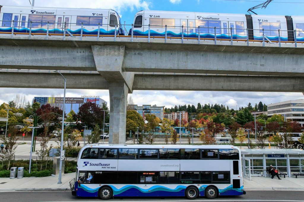
Sound Transit staff and officials are planning for the voter-approved expansion of Link light rail 16 miles from the Lynnwood Transit Center (where the station is called Lynnwood City Center) to Everett Station. At this point, high-level conversations and debates about where stations and the track, aka the “alignment,” could go are funneling to committees then to the full Sound Transit board for decisions.
The agency spanning parts of King, Pierce and Snohomish counties gathered over 1,200 comments between January and March, including at a February meeting in Everett. It drew a large presence from members and supporters of the Alderwood Community Church and Mill Creek Foursquare Church, both of which could be affected by the light rail’s development.
Recommendations from the Everett Link Extension Community Advisory Group and Elected Leadership Group were generally similar. But they split over a few of the alternatives, notably where to put the Evergreen Way and Highway 526 station near Casino Road.
That Evergreen Way site had five options on the table. Only one is north of Highway 526 and generally envisioned to be near the new apartment buildings under construction at the former Kmart. The rest are south of Highway 526 or Casino Road on either side of Evergreen Way.
Fears over displacement of several businesses, including many that serve Hispanic and Latino residents, have split opinions over where the station should go.
The community group’s opinion on the northern-most station alternative was mixed. It recommended studying locations on the northwest corner of Casino Road and Evergreen Way, and a bit south of that on either side of Evergreen.
The elected leaders recommended removing the most southwest and northeast alternatives, with support for a station south of Highway 526.
“Casino Square is going to be impacted by any of these stations,” Everett Mayor Cassie Franklin said in April. “We’re going to have to make affordable commercial space regardless.”
One of the key challenges identified for the option north of Highway 526 was bus access. The other sites south of the highway would be near existing bus rapid transit stations along and bus stops.
The elected leaders agreed to study it further.
Both groups recommended dropping option C, the northeast choice.
The Southwest Everett Industrial Center, sometimes referred to as the Paine Field station, also saw split recommendations from the two groups. The community group had mixed opinions about each option: near Casino Road, Highway 526 and Seaway Boulevard; along Airport Road near Kasch Park Road; and along Airport Road near 94th Street SW.
The elected leaders backed the option closest to Boeing as their preference. There’s potentially more riders who work at Boeing than those who would take light rail to the Paine Field airport, Everett City Council member Ben Zarlingo said.
In part, that’s because of the distance between the station alternative farthest south and the airport passenger terminal. It’s about ¾-mile away, which stands out compared to the 950 feet from the Sea-Tac light rail station to the airport terminal.
The elected leaders asked to pull that option from further study, but Sound Transit staff recommended evaluating it in the next step.
Everett Station, the northern terminus for Sound Transit light rail, had three options on the table. The community group asked to scrap the alternative closest to the current Everett Station and preferred the northern-most alternative that would be closest to downtown if it used an alignment generally along McDougall Avenue. The elected group backed that as well, but also supported further study of an alternative closer to the current transit hub after staff said they’re evaluating an option that would be across the street instead of sharing the same space.
Both groups backed West Alderwood stations and alignment along 33rd Avenue W and 184th Street SW and asked to ditch an alternative south of the mall.
At the Ash Way location, an option east and west of I-5 and just north of 164th Street SW should get further evaluation, the groups agreed.
Mariner Station should be south of 128th Street SW, according to the groups. The community group preferred the option closest to 128th Street SW near 8th Avenue W, and the elected group didn’t have a preference between that and an option closer to the current Mariner Park and Ride.
Both alternatives for a provisional station — meaning if and when funding is available — got the groups’ nod at Airport Road and Highway 99.
All options for the Operations and Maintenance Facility North, the up-to-70-acre site for about 450 employees and where light rail cars get maintained and stored, got both groups’ recommendation for further study.
Ben Watanabe: 425-339-3037; bwatanabe@heraldnet.com; Twitter: @benwatanabe.