‘Substantial’ atmospheric river moves toward Snohomish County
Published 3:08 pm Sunday, December 7, 2025


EVERETT — Snohomish County will activate its Emergency Operations Center on Tuesday morning to coordinate community responses as an atmospheric river is expected to bring the potential of flooding to the region.
The National Weather Service has issued a flood watch Monday night through Friday afternoon for portions of Northwest Washington. Sharp rises will be possible on rivers in the area, especially those flowing off the Olympics and Cascades, the weather service said.
Logan Howard, a meteorologist with the National Weather Service in Seattle, said this atmospheric river is forecast to be bigger than most.
“This isn’t the largest one we’ve ever seen, but this is a more substantial one,” Howard said Sunday.
An atmospheric river is a narrow band in the atmosphere that transports massive amounts of water vapor from the tropics toward the West Coast, acting like a “river in the sky” carrying moisture as invisible vapor, according to the weather service.
Moderate to heavy rain should reach the coast before spreading across Western Washington by Monday afternoon, according to the latest forecast by the weather service.
“Be vigilant. Many of us commute in the dark this time of year,” said Snohomish County Department of Emergency Management spokesperson Scott North in a Monday email. “Look for downed powerlines and other debris. Never attempt to drive through water across roadways. As little as a foot can float a car, and there’s no way to gauge the depth from the driver’s seat.”
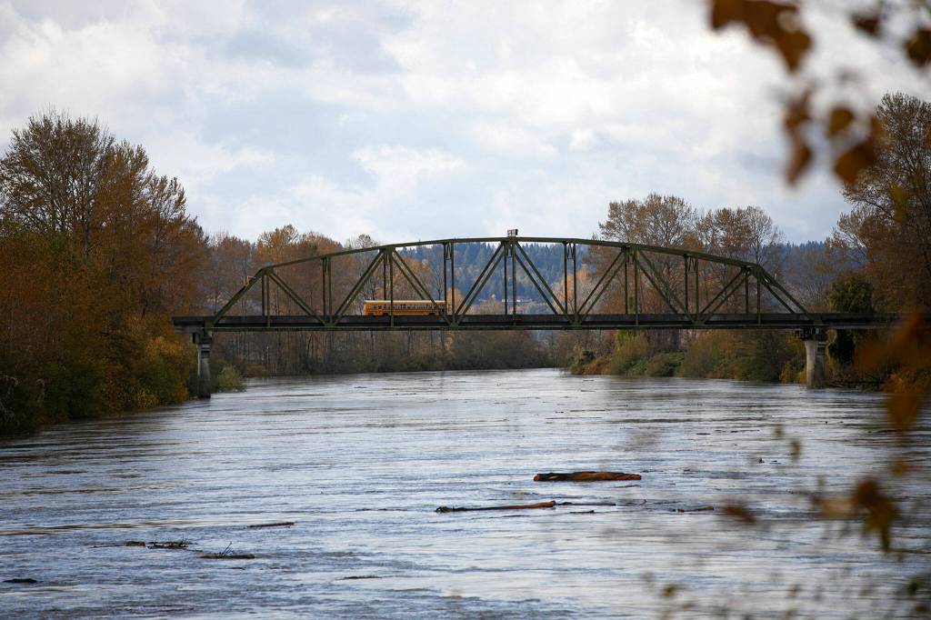
The Snohomish River locations at Monroe and the city of Snohomish are forecasted to reach “moderate” flood stage. The Stillaguamish River at Arlington is expected to reach minor flood stage, Howard said.
As the Stillaguamish can be “flashy” and unpredictable during heavy rains, Howard said residents in the area should continue to monitor updated forecasts for any changes.
For the weather service, minor flood stage means minimal or no property damage but possibly some public threat, like inundation of roads. Moderate flood stage could result in some inundation of structures and roads near streams. It might require some people to be evacuated and/or to transfer property to higher elevations.
Snohomish County Fire District 19 posted Monday morning, warning residents of looming flood conditions and that sandbags would be available at Willow & Jim’s Cafe in Silvana. The district also encouraged travelers to find alternative routes if they have to drive places on Tuesday.
“The best and safest plan is to stay home on Tuesday,” the post stated.
The county will post information on social media channels during the week, but North encourages residents to monitor the flood page on the Snohomish County Public Safety Hub for updates and quick access to key resources, including real-time river gauges, interactive maps, alerts and other tools.
As of Monday afternoon, both the Stillaguamish River near Arlington and the Snohomish River near Monroe were below action alert flow levels.
Michael Henneke: 425-339-3431; michael.henneke@heraldnet.com; X: @ihenpecked
Eliza Aronson: 425-339-3434; eliza.aronson@heraldnet.com; X: @ElizaAronson.
Eliza’s stories are supported by the Herald’s Environmental and Climate Reporting Fund.