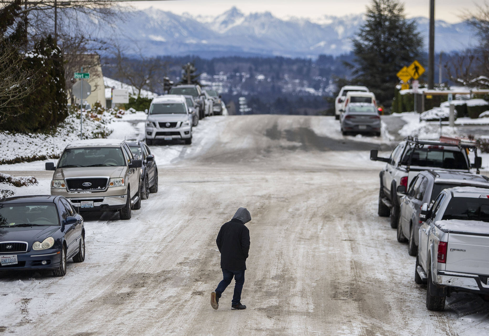
EVERETT — Friday appears to be your last chance for walking in a winter wonderland this week.
All of Western Washington was under a winter storm warning from Thursday afternoon until 7 p.m. Friday, with the risk of freezing rain and widespread power outages in the cold. For some eastern parts of Snohomish County, the National Weather Service warning is expected to stay in place until Christmas Eve morning.
“The next 24 hours will be pretty challenging and complex,” said Johnny Burg, a meteorologist with the weather service in Seattle.
In Everett, the last of the snow will likely come Thursday night and Friday morning.
But it won’t be much, according to the forecast. New snow Thursday was expected to be less than half an inch. And even less on Friday. As temperatures rise out of freezing — highs of 39, 48, and 49 are predicted for what’s shaping up to be a comparatively balmy Christmas weekend — the precipitation will turn to rain, bringing its own worries.
The forecasts don’t look much different elsewhere in Snohomish County.
But the bigger concern is ice, Burg said.
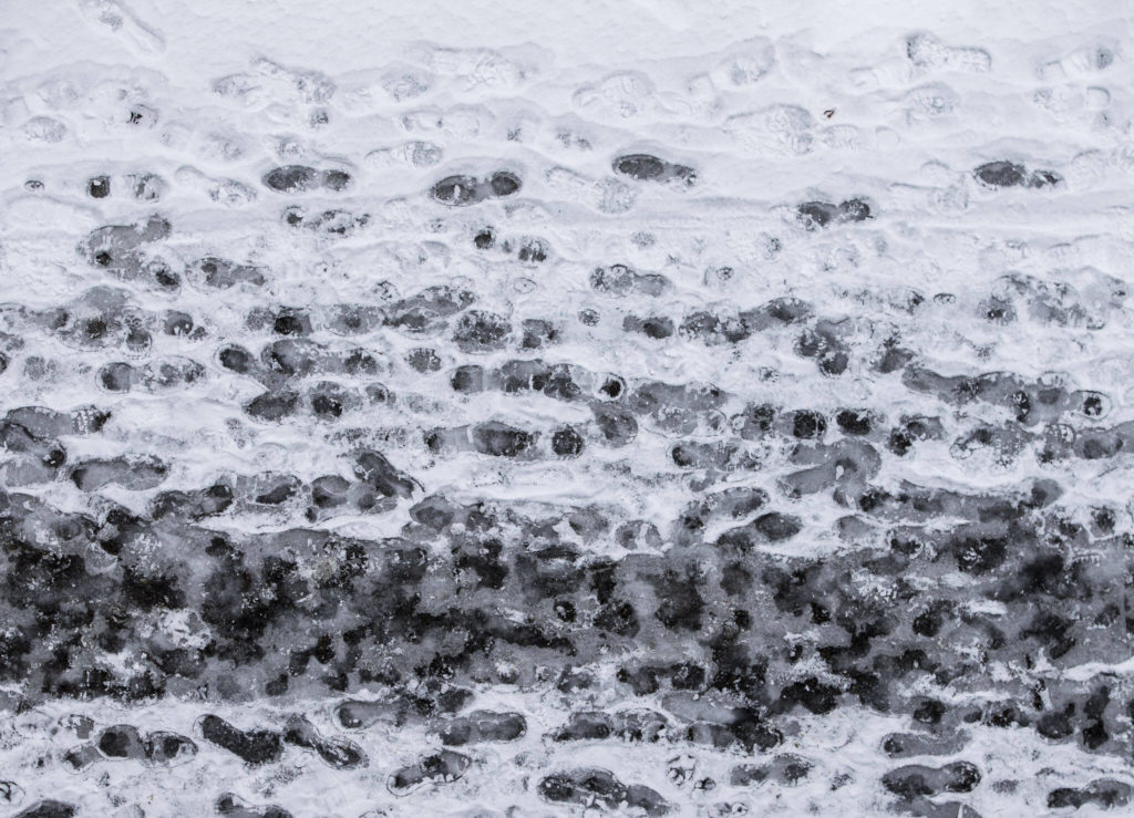
The freezing rain in the forecast is different from regular rain or snow because it falls as liquid but immediately freezes once it hits the ground, producing another layer of dangerous ice.
Burg predicted one-tenth to one-quarter of an inch of new ice. That’s a lot for this area, he said.
The Snohomish County Public Utility District warned of possible power outages Friday caused by freezing rain that adds pressure on tree branches and powerlines. The PUD encouraged charging electronics, restocking emergency kits and making a plan if you absolutely need power.
Burg was concerned about the Friday morning commute as that new ice comes overnight. Even walking on it could be dangerous.
“Any kind of ice on the surface is going to make things really, really bad,” the meteorologist said. “Take Friday off and enjoy Christmas weekend, if you can.”
That ice was expected to melt by the afternoon as temps rise and the precipitation turns to our usual rain.
While the snow and cold may leave, new weather fears will take their place.
On Wednesday afternoon, the National Weather Service warned of a series of storms, bringing moderate to heavy rain falling on existing snow. That could cause urban flooding and standing water as drainage systems are overrun. River levels may rise, but severe river flooding was not expected through Saturday.
But wait, there’s more.
A series of atmospheric rivers are then expected to pelt the Pacific Northwest, one after another, Burg noted. That could lead to more river flooding through the early part of next week. It’s hard to say which river basins may see the worst of it.
Jake Goldstein-Street: 425-339-3439; jake.goldstein-street@heraldnet.com; Twitter: @GoldsteinStreet.
Talk to us
> Give us your news tips.
> Send us a letter to the editor.
> More Herald contact information.
Gallery