
EVERETT — If you’ve been waiting patiently for a winter wonderland of snow in the lowlands of Snohomish County, don’t get your hopes up too much.
Meteorologists predict that while there is a small chance of snowfall on Wednesday, it’s unlikely to stick around. And beyond that, the window of opportunity for a snowy day in Snohomish County will quickly close.
But this week will bring below freezing temperatures through much of the county, with the possibility of slick roads due to the leftover moisture from Wednesday, said Dustin Guy, a meteorologist at the National Weather Service in Seattle.
“There could be a few mixed rain or snow showers around Everett and really in Snohomish County as a whole today,” Guy said in a Wednesday interview. “But accumulation is going to be very limited, and is really not going to stick around as we get into tonight and Thursday.”
On Thursday, temperatures will drop with overnight lows in the upper 20s and daytime highs struggling to hit 40 degrees, Guy said. Watch out for black ice on roads.
By then, precipitation in the low-lying areas of the county will dry up, with rain unlikely to return until the weekend, later in the day on Saturday. Temperatures that day will begin rising, with highs near the 50s.
Generally, the window for snowfall in the Puget Sound region begins near the end of November. By the end of February, that window is usually shut, barring a less-frequent weather event like a convergence zone, when westerly winds flowing around the Olympic Peninsula converge over the Puget Sound, causing a narrow band of precipitation through the region.
“It looks like it could go down as one of those winters where, in a lot of areas, we just didn’t see any snow in the lowlands,” Guy said. “But that’s not entirely unusual. We do have years where you just don’t really see it down here.”
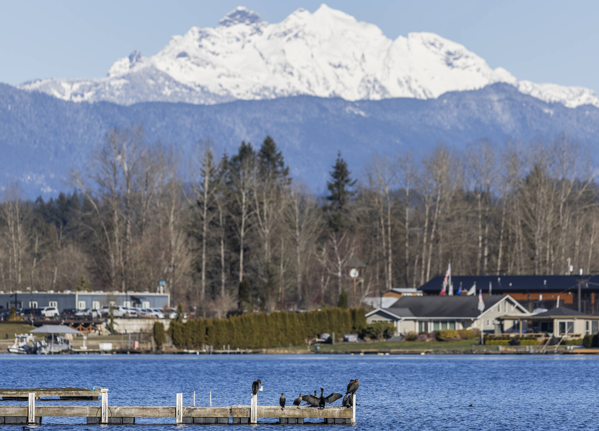
Mountainous areas should continue to see typical amounts of snow, Guy said. Those mountains need it, as data from the United States Department of Agriculture shows snowpacks — vital sources of water for the region — are well below normal levels across the state as of Tuesday, particularly in the Puget Sound region and the southern areas of the state.
Snohomish County has seen a wide variety of weather events through this winter: A deluge of rainfall in December causing widespread flooding, followed by a near-record dry spell a month later. In January alone, temperatures fluctuated between freezing on some days to over 60 degrees on others.
“It’s been a topsy-turvy winter. I guess I could call it a roller coaster, really,” Guy said. “But whether I could call it usual or unusual, that’s a tough question.”
Cold weather shelters will be open Wednesday night and will almost certainly be open Thursday night, as temperatures are expected to drop then to a low of 27 degrees overnight, well below the 34-degree threshold required to open the shelters.
There are seven cold weather shelters located across Snohomish County. For more information, visit tinyurl.com/2pfn4bsm.
Everett
• 2624 Rockefeller Ave.
• 5126 S. 2nd Ave.
• 2617 Cedar St.
Lynnwood
• 17620 60th Ave. W
Marysville
• 7215 51st Ave. NE
Monroe
• 14118 Chain Lake Road
Snohomish
• 210 Avenue B
Will Geschke: 425-339-3443; william.geschke@heraldnet.com; X: @willgeschke.
Talk to us
> Give us your news tips.
> Send us a letter to the editor.
> More Herald contact information.


