
SNOHOMISH — A swollen Snohomish River roared under the Highway 9 bridge Friday afternoon as wind gusts up to 40 mph thrashed flags hanging from shops along First Avenue here.
The river was expected to skirt moderate flooding levels, covering the waterfront trail along its banks but not reaching the downtown height chart that documents past record-breaking floods.
A brief break of blue sky Friday afternoon was expected to give way to another weather system by evening.
Heavy precipitation Friday night and Saturday morning was expected to be the last gasp in a string of extreme weather before things clear up, according to the National Weather Service.
That system could also dump heavy snow on the Cascade Mountains.
Sunday is forecast to bring a much-needed dry period, according to the weather service. It may last through the beginning of next week.
This week’s rain has weakened already-soggy soil, resulting in landslides across the county. Late Thursday, a hillside along North High Rock Road near Highway 203 in Monroe gave way, covering half the road with mud and downed trees.
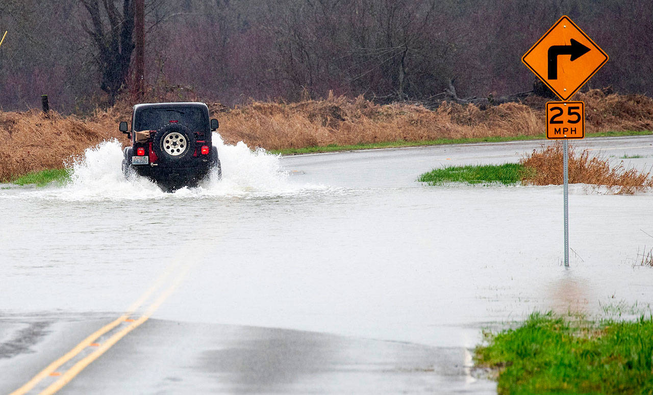
Residents were seeing more urban flooding, like overwhelmed culverts and inundated yards. With the ground saturated from last week’s downpours and a wet early 2020, the water has nowhere left to go, weather service meteorologist Jacob BeFlitch said.
About a dozen roads, covered in water or mud, were closed throughout the county.
ROAD CLOSED: North High Rock Rd is closed from Hwy 203 to the end of the road due to a slide. #wawx pic.twitter.com/FrvkTE9U13
— Snohomish Sheriff (@SnoCoSheriff) February 7, 2020
In the Cascades, a high-risk avalanche warning was in effect through Saturday morning.
High winds were predicted to last through Friday night, endangering trees weakened by the soaked ground.
Julia-Grace Sanders: 425-339-3439; jgsanders@heraldnet.
Talk to us
> Give us your news tips.
> Send us a letter to the editor.
> More Herald contact information.

