Say sayonara to lowland snow — very most likely
Published 1:30 am Thursday, February 28, 2019


EVERETT — You can probably pack away the long johns.
The arrival of March — and temperatures in the 50s, the wonderful, beautiful 50s — most likely spells the end of lowland snow for the season.
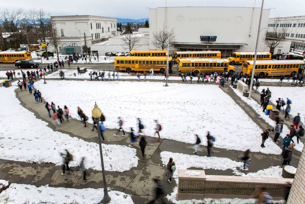
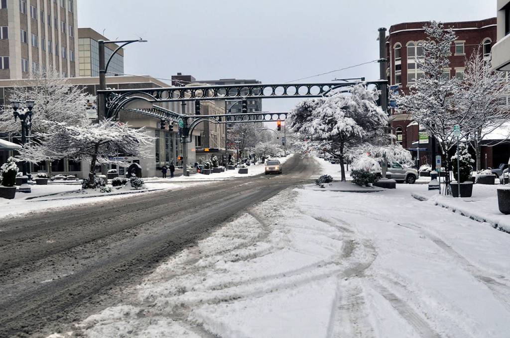
February brought the most snow in one month in the Seattle area in 50 years, according to the National Weather Service.
It taxed road crews and commuters, and maybe some parents as the school snow days kept coming, one after another.
Here's the month in review: It got cold. It snowed. It stayed cold. It snowed some more. Then some more. Then some more. Stayed cold. Snowed a little more. OK, that's probably not exact. So, here's the last 4 weeks of infrared satellite images showing the busy weather. #wawx pic.twitter.com/CVxOZKiAGC
— NWS Seattle (@NWSSeattle) February 28, 2019
A little snow fell again Wednesday, including some in Everett. It was an unusual stretch of cold, said Kirby Cook, a meteorologist with the weather service.
“You can’t say with 100 percent certainty that we’re not going to see snow accumulation again, but it becomes less and less likely as we roll into spring,” he said.
Sunnier, clearer weather is predicted through the weekend, though the warmup might be slower than desired. Daily highs are predicted in the 40s for Everett well into next week.
Highs should be creeping back into the 50s, though, Cook said. The average temperature for this time of year is in the 50s.
The mountains will be another story.
“Winter is not over in the mountains for a long time,” Cook said.
“People should expect winter conditions at least through the spring and pay attention to the forecast.”
Rikki King: 425-339-3449; rking@heraldnet.com. Twitter: @rikkiking.