App lets you tour the Mountain Loop Highway with your phone
Published 1:30 am Sunday, August 11, 2019


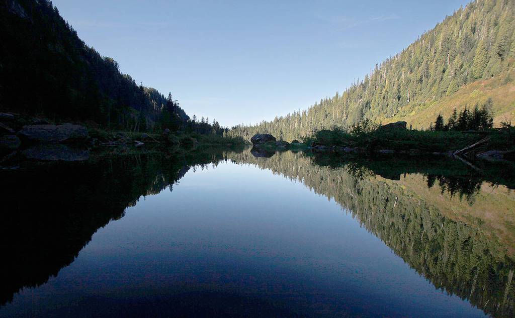


The Mountain Loop Highway is known for many things, but great cell service isn’t one of them.
Travel deep enough into the 54-mile-long byway, which separates Granite Falls and Darrington, and all connection to the outside world is lost, save for GPS.
That makes the area ideal for going off the grid. But what if you didn’t want to — at least not completely?
Yeah, you guessed it — there’s an app for that.
The Mountain Loop Tour app — an initiative of the Snohomish County Tourism Bureau — serves as a self-guided tour of trails, historical sites, recreational activities, mountain peaks, restaurants and lodging scattered along route. It’s free to download for iPhone and Android smartphones.
There are about 90 stops on the tour, which are tagged in a built-in GPS system that provides directions to each stop. A GeoAlerts feature pings your smartphone when you’re about 100 yards from a place of interest, such as a trailhead or campground.
The app focuses on three areas of interest: History, hikes and places to eat and sleep.
It’s an all-in-one package, according to Fred Cruger of the Granite Falls Historical Society, who helped provide back stories, facts and pictures for the app’s oldest trails and sites.
One of them, the ghost town of Monte Cristo, was once at the center of a gold and silver rush dating back to 1889. Another, the Gold Basin campground, is in the vicinity of Gold Basin Lumber and Shingle Co.’s old mill pond, which was in operation for a few years starting in 1910.
(The highway itself, also known as the Mountain Loop National Scenic Byway, was established in 1891 as a wagon road along the Sauk River.)
Then there’s the Big Four Inn, located a mile away from the Big Four Ice Caves. All that remains of the old inn, which was a popular tourist destination until it burned down in 1949, is a fireplace.
The app shows photos of Big Four Inn from its heyday.
“If you look at your phone, you’ll see the entire lobby — the fireplace was only a small part of it,” Cruger said.
Cruger, who took part in a 15-year-long effort to digitize thousands of photos, newspapers, maps and yearbooks at the Granite Falls Historical Museum, hopes the app will bring attention to the Mountain Loop area.
“It tempts you and hopefully convinces people to make a couple quick stops they might otherwise drive by for lack of awareness,” he said. “Now they can draw their attention to it.”
Most important of all is that the app works without an internet connection, which is especially helpful when it comes to hiking, Cruger said.
The tourism bureau collaborated with a handful of local agencies, historians, authors and others on the app. The U.S. Forest Service providing information on campgrounds, while the Washington Trails Association gave details about the hikes.
Colton Whitworth, a spokesman for the U.S. Forest Service, said GPS apps like Google Maps aren’t 100% reliable, so having concrete instructions on where to go and how to get there will make outings there easier.
It will also help shape their experience on the trail. While some hikes off the Mountain Loop Highway have signs about the trail, the app’s descriptions are more in-depth.
“With this app, it would be a tool we could use to tell the story in better detail and not have to worry about vandalization and the maintenance cost associated with those signs,” he said.
Information provided on hikes includes distance, elevation and a description of what hikers will encounter along the way. When the internet is available, the app also connects to the Washington Trail Association website. Some explanations of trails, like the 1.2-mile-long Old Robe, include the history behind them. Robe was once a town site.
“I hope people begin to realize how much we care about the history of this place,” Cruger said.
The recently reopened Gold Basin campground is Whitworth’s top pick for places to pitch a tent. It’s one of about a dozen other campgrounds listed on the app, which also includes information on sleeping accommodations at inns, lodges, and bed and breakfasts.
Whitworth also recommended day hikes like Heather Lake, Lake 22 and the Big Four Ice Caves — so long as hikers don’t venture into the dangerous caves.
“(The app) is an exciting new tool,” he said. “It’s almost like a virtual tour guide on your phone.”
Evan Thompson: 425-339-3427, ethompson@heraldnet.com. Twitter: @ByEvanThompson.
Mountain Loop Tour
Search for “Mountain Loop Tour” on Google Play or Apple’s App Store to download the app for free. Try out a web version of the app at www.snohomishmountainloop.oncell.com.
Enable GeoAlerts at the bottom of the homepage while connected to the internet to receive alerts when near a place of interest.