By Anna Roth / Washington Trails Association
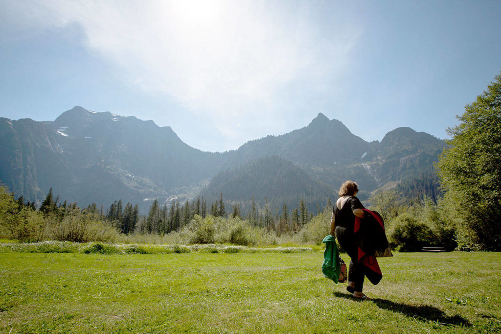
I hike to spend time alone in nature, so it may come as a surprise that one of my go-to trails is in the Issaquah Alps. Sure, I see other hikers when I visit, but I’ve never felt crowded there, despite rarely seeing trailheads less than half-full.
Which made me wonder, how is it that hundreds of us can visit a trail system in a weekend and I can still enjoy a relatively quiet hike there?
The key is the many connector trails in the network, which make lots of loops or traverses — taking one trail up, and another one down — possible. Personally, I love hiking like this, because I like to see as much new scenery as possible.
There’s another good reason for hiking loops and connections, though, which I learned from Zach Jarrett, the Region 6 manager for the Forest Service, during a planning meeting years ago. One-way hikes lessen individual impact on the landscape, and, to some extent, on the other hikers on the trail.
Why? Loops and traverses reduce each hiker’s physical impact on the trail because your feet only go over each section of trail once. This may not seem like a big deal, but by hiking one-way, you’re halving your impact on any given trail. That makes a big difference for maintenance and impact on the landscape.
Hiking like this can also reduce your impact on other hikers. When hiker traffic all flows in the same direction, it decreases the number of times you encounter another person. This contributes to more time spent by yourself on trail and fewer times you have to stand aside to let others pass.
Magnify these effects by hundreds of visitors over the course of a season, and you can see the impact one-way hiking can have. But the system needs to be built for this; it only works if there are trails you can use to make a loop. Looking at a map of the area you want to explore can show you loop or traverse options, but an interconnected trail system requires investment and advance planning.
The Washington Trails Associatiaon has worked with land managers all over the state, designing and building trails to promote this behavior. Spokane County Parks, supported by Dishman Hills Conservancy, has been developing a new trail system over the last several years at the Dishman Hills Conservation Area, a ridge dividing Spokane and Spokane Valley.
Jeff Lambert, executive director of Dishman Hills Conservancy, which supports Washington State Parks and the Department of Natural Resources in their management goals, has three principles for trail design.
“One is to discourage trespassing. The second principle is to protect important ecological systems. And the third one is to have loops,” Lambert said. “In urban parks like Dishman Hills, you want to create loops so you don’t have people reaching the property line and accidentally trespassing.”
Having those loops built in was a benefit when COVID-19 restrictions came up. The looped trails could be traveled one-way to reduce hiker encounters.
In the southwest part of the state, WTA designed the Catherine Creek loop trail, a reroute in a popular area that guides hikers away from a user-created trail that leads to a property boundary with tribal land.
Ryan Ojerio, WTA’s Southwest regional manager, recommends hiking it clockwise, though he skips the popular arch.
“I go up the gravel road past the arch and then turn right to get onto the northern end of the Catherine Creek loop,” Ojerio said. “I stay left to descend on the new trail we built.”
A bonus: Either way you hike this loop, you get two WTA projects for one. In 2019, a volunteer vacation crew built the bridge you cross near the parking lot. And our work at Catherine Creek is continuing. We’re working with resource specialists and the Forest Service to design another loop there. (We’re also helping to create loops at Lyle Cherry Orchard Preserve.)
Back in the Issaquah Alps, the Department of Natural Resources recently purchased a small parcel of land just outside of Issaquah, near the East Sunset Way trailhead, in conjunction with the city of Issaquah. They’re working on improving the access to provide a better gateway for hikers into the complex network of Tiger Mountain trails.
“So many people go to West Tiger 3 and do Cable Line up and down, which is great, but they miss out on the miles of other trails on the mountain,” said Katie Woolsey, the natural areas manager and state lands steward for DNR. “We hope that the investment here will help people discover a part of Tiger they might not otherwise visit.”
Tips for planning a loop hike
Loops and traverses are pretty easy to find, whether you’re looking for a day trip at your local trail network or planning a bigger, multiday adventure.
WTA’s Hiking Guide includes lots of iconic hiking loops, but as you’re planning your summer, let me challenge you to build a loop hike of your own, or maybe a traverse, and write a trip report about it. Here are a few tips to get you started.
Find connections. Look for trails near the one you want to hike. Are there connection points you can use to create a loop? Don’t rule out a road walk — some of the most scenic routes do require a short road walk to finish them up.
Partner up. Traverses can seem daunting, but with a key swap or a car shuttle with friends, they’re doable.
Look up transit options. Some trail systems in Washington will have buses to trailheads this summer. These are a great option to minimize your impact not only on trail but on the way there and back, too.
This article originally appeared in the summer issue of Washington Trails magazine. Washington Trails Association promotes hiking as a way to inspire a people to protect Washington’s natural places. Learn more at www.wta.org.
Talk to us
> Give us your news tips.
> Send us a letter to the editor.
> More Herald contact information.
Gallery