EVERETT — BNSF Railway has been getting into the aerial drone business.
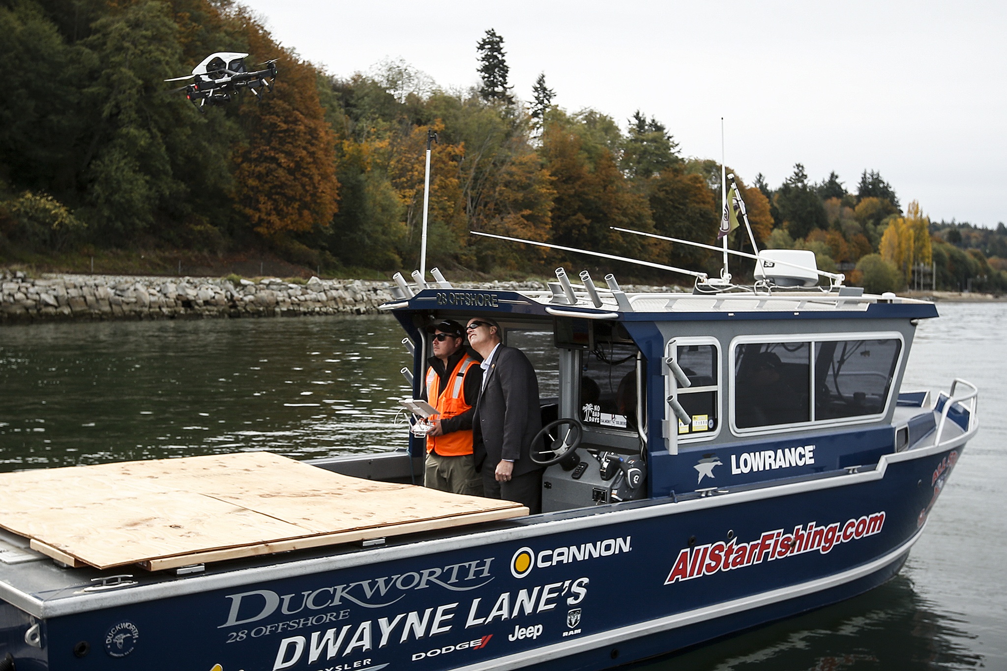
On Wednesday, employees of the railroad took a chartered fishing boat out into Port Gardner Bay to demonstrate how the company is using the drones.
In this case, the drone was used to inspect a section of seawall supporting the main railway line east of Mukilteo in an area that’s prone to mudslides.
The railway is one of three companies participating in the Federal Aviation Administration’s Pathfinder program, which launched in May 2015. The program granted those three companies waivers to conduct tests that take drones outside the operators’ line of sight.
Current regulations require the operators of all private drones, also known as unmanned aerial vehicles (UAV) or unmanned aerial systems (UAS), to keep them within view at all times.
Aside from BNSF, CNN is experimenting with drones for newsgathering, and Raleigh, North Carolina-based mapping company PrecisionHawk is using drones to survey large agricultural areas.
“For the UAV program, it really is supplemental to our inspection program,” said BNSF spokeswoman Courtney Wallace.
The drones wouldn’t replace human inspectors, she said.
“It’s just another tool on their tool belt,” she said.
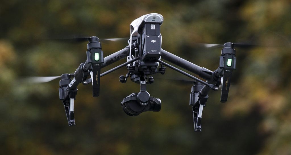
On Wednesday, the company demonstrated a small drone equipped with a high-definition camera from the deck of a boat. It buzzed like a swarm of angry bees as it took off and zipped up the shoreline toward Pigeon Creek Park.
Also aboard the chartered fishing boat was U.S. Rep. Rick Larsen, who represents the 2nd Congressional District and is the ranking Democratic member of the House Aviation Subcommittee.
Congress is expected to take up a bill next year that will set the regulatory framework for how drones can be used.
“There are going to be many more applications of the technology in other infrastructure industries,” Larsen said.
Aside from the railroads, and Amazon.com’s much-publicized exploration of using drones for deliveries, many utilities could use them for work on high wires and other difficult-to-access equipment, he said.
Real estate agents are using drones for marketing properties.
“It’s one more industry with an idea for using UAS that we hadn’t thought of,” Larsen said.
The railroad’s drone, a $2,000 DJI Inspire 1 quadcopter, was outfitted with a high-definition camera that pilot Nolan Rubalcaba could point to features on the seawall or along the tracks.
The drone also swung by some areas of hillside where there was evidence of slides.
“Yesterday we saw some mud on the tracks, that’s a pretty good sign,” said Bruce Teel, BNSF’s manager of roadway planning.
The railway has been testing drones outside of line-of-sight mostly in the Southwest, Wallace said, with a few tests in the Northwest and Montana.
In addition to sea walls, the railroad is using UAVs to look at bridges and trestles.
“We have some very long bridges and very tall bridges in some very remote country,” she said.
Rather than having inspectors climb over every inch of those bridges, they could send in a drone first and zoom in on areas of interest.
“It will allow our inspectors to do our job more efficiently,” she said.
Chris Winters: 425-374-4165; cwinters@heraldnet.com. Twitter: @Chris_At_Herald.
Talk to us
> Give us your news tips.
> Send us a letter to the editor.
> More Herald contact information.


