
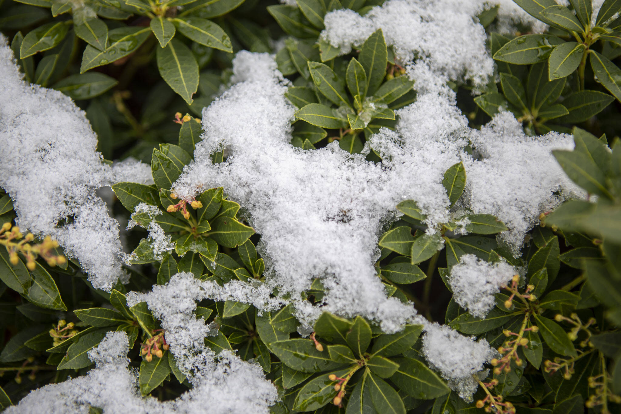
EVERETT — Get ready for more flurries to arrive in Snohomish County on Saturday and Sunday, according to an updated forecast from the National Weather Service.
From Arlington to Seattle, there is now a 45% to 60% chance of at least an inch of snow accumulation, according to the weather service. To the west along the Olympic Peninsula, the forecast calls for a 70% chance.
Starting Saturday evening, the cold, dry air in place over the county will meet some moisture, which is a recipe for snow, meteorologist Dustin Guy said. The air is expected to warm up by Sunday, turning the snowfall into rain, the forecast said.
Cities on the coastline, like Everett, may see the snow turn into a cold rain Sunday morning, Guy said. Whatever does fall will be wet, and the accumulation should be light.
For drivers, there is a possibility of ice.
“If we did have snow, even if it melts a little bit during the day as we get some sun, that’s just going to refreeze at night and that can make for some icy conditions,” Guy said. “Some of the first places to ice up are going to be overpasses, we’re going to have some slick roads.”
For most areas in Western Washington, wind chill will likely fall into the teens Friday. The morning low in Everett is expected to reach 21 degrees. Farther south, Olympia temperatures could drop as low as 10 degrees.
The National Weather Service expects colder-than-normal temperatures in the foreseeable future. Highs in the 30s and 40s leading into next week are likely.
These temperatures are 7 to 10 degrees below average for this time of year, Guy said.
Jonathan Tall:425-339-3486; jonathan.tall@heraldnet.com; Twitter: @EDHJonTall.
Talk to us
> Give us your news tips.
> Send us a letter to the editor.
> More Herald contact information.

