Puget Sound rail services avoid landslides with science
Published 1:30 am Sunday, November 18, 2018
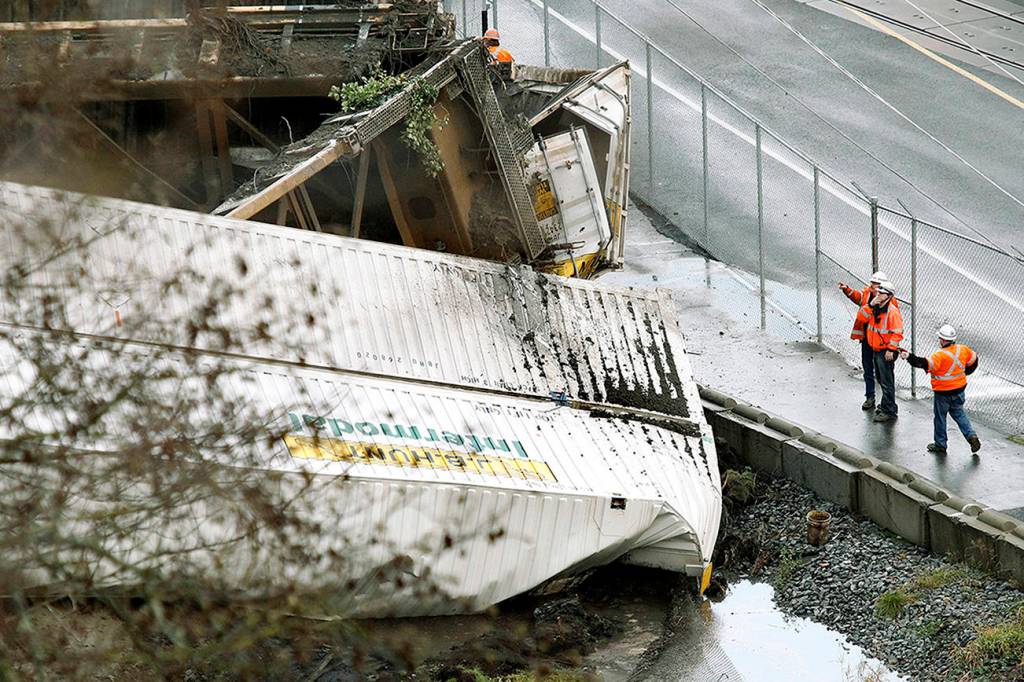
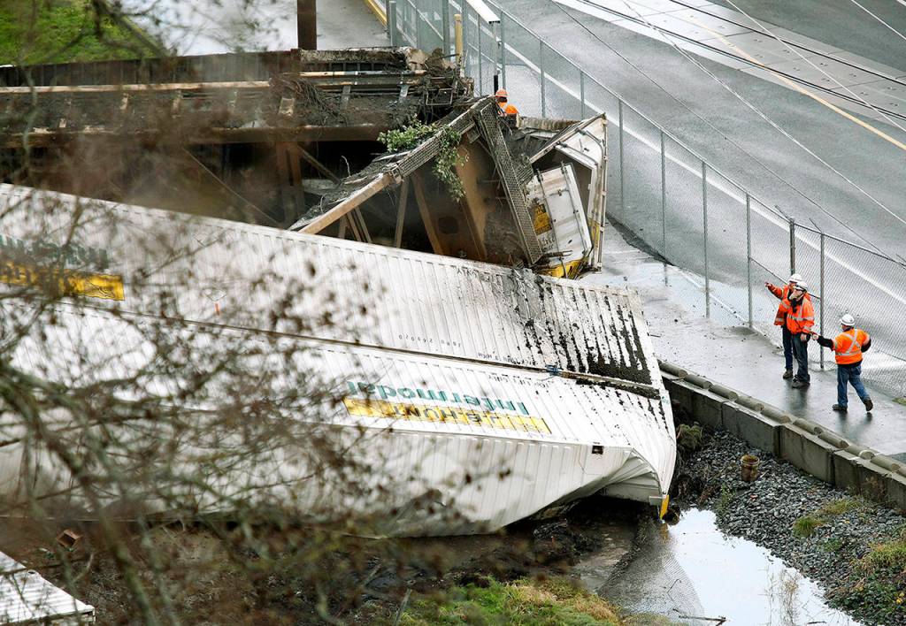
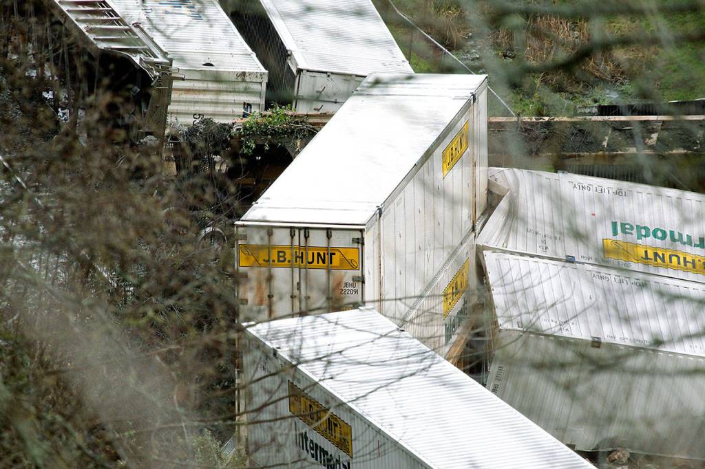


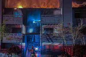
MUKILTEO — It started as a dribble of mud trickling down the side of a cliff. In seconds, a wall of brush and dirt hurtled into a freight train passing below. Seven cars were knocked off the tracks, piling up like toppled Jenga tiles.
The slide in winter of 2012 was just a shallow mudslide near Everett. But it puts into perspective the dangers of the railway between Seattle and Everett, a corridor hugged on one side by Puget Sound and on the other by steep bluffs of unstable, clay-rich glacial deposits.
Here, it’s not a matter of if, but when the earth will crumble. Every winter, dozens — and sometimes hundreds — of landslides occur in the Pacific Northwest.
“It’s no secret we get day after day of heavy rainfall that saturates the cliffs, and we are caught at the bottom with shovels,” said Gus Melonas, a spokesman for BNSF Railway, the company that owns the right-of-way along the tracks.
For years, scientists with the U.S. Geological Survey have been developing new ways to reliably forecast landslides, to prevent economic losses and save lives. But just as meteorologists don’t always get the weather right, geologists sometimes have trouble figuring out what’s going on underground.
“Anything that involves forecasting and prognostication is part art, part science,” said Martin Young, director of transportation and maintenance for Sound Transit.
Disaster in the ’90s
USGS scientist Rex Baum was called to Washington after the winter of 1996, when hundreds of landslides wreaked havoc throughout the state.
The winter was an outlier. Up to two feet of snow fell in the northern lowlands here at the end of December. Then, in the last few days of the year, it started raining. The snow melted rapidly, triggering a series of landslides that caused the deaths of at least four people and millions of dollars in property damage.
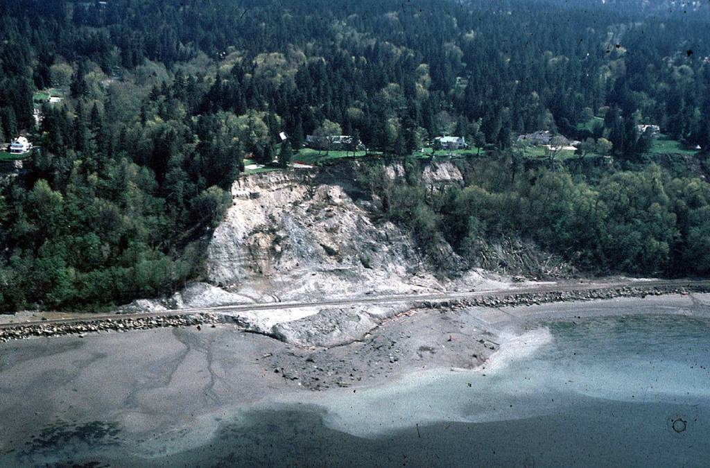
One of the largest slides happened a few weeks later, after water settled deep into the ground. Along the coastal bluffs in Woodway, a hillside tumbled onto the railroad, spreading a pile of dirt and debris across 500 feet of tracks and 50 feet into Possession Sound. It dumped five rail cars into the water, while engineers plowed their locomotives through mud to safety.
A couple of hours earlier, an Amtrak train had passed through carrying 650 passengers.
It was Baum’s job to figure out how to keep people and property out of harm’s way.
To do that, he and other USGS scientists developed models to gauge rainfall over days, to show how much water the ground had soaked up and how much more it might absorb.
It’s been useful, Baum said, but it’s an indirect way of estimating when landslides will happen, since it doesn’t reveal how water is acting underground. And it doesn’t account for how melting snow can build into a torrent with heavy rain, a factor in the ’96 slides.
The forecast model could create false alarms and false negatives.
A new model
One way to deliver more reliable results was to measure the moisture in the soil directly, Baum concluded in an academic paper in 2008.
But it wasn’t until 2015 that USGS scientist Ben Mirus installed monitors along the Mukilteo bluffs to find out what was going on under the surface.
With monitors, Mirus could see how fast groundwater moved and how much the dirt could hold. Though he was working with a small sample size, the initial results were promising. The new system was a better predictor than rainfall models, he said.
That’s not to say that ground moisture should be the only tool to predict landslides. It works best when combined with rainfall analysis, he said.
Ideally, Baum said they would set up more monitoring stations on diverse slopes in the same area: wet and dry, steep and flat, shrubby and bare.
Even then, Baum said, “we’re dealing with natural (phenomena) and natural systems, so there’s a lot of uncertainty that you’re dealing with because there are so many unknowns.”
Mother Nature
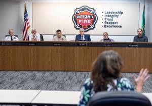
It was a wake-up call, Young said, when Sound Transit canceled over 200 trains because of landslides in the winter of 2012, the most of any year. The agency needed to be better prepared so passengers weren’t inconvenienced.
In 2016, Sound Transit started using data from Mirus’ work, as well as the earlier rainfall measurements. If a landslide looks likely, transit leaders will get together and decide whether they need to cancel service ahead of time and set up alternative bus routes.
They don’t choose to stop trains ahead of time very often. About three meetings have been called in the past two years. Leaders canceled service just once, for a Sunday Seahawks game.
“Then sure enough, there was a slide later that day,” Young said.
The pre-emptive cancellation was a first for Sound Transit. Before, standard policy was to cancel service for 48 hours after a landslide occurred.
Young said the agency can’t stop service for every threat of a landslide, as they aren’t always serious. But as the forecasting models become more accurate, he said passengers may see more cancellations.
Forecasting isn’t the only way to protect against slides. The state has poured resources into landslide mitigation efforts, including detailed lidar maps. Some of the new emphasis was spurred by the deadly 2014 slide near Oso.
In the past few years, BNSF has used millions of dollars in state money to build hundreds of feet of catchment walls along the Mukilteo bluffs. The walls collect debris before it lands on the tracks. All that’s required is a rail crane to stop by and scoop up excess dirt from behind the wall, said Melonas, the BNSF spokesman.
Sound Transit only canceled 53 trains last winter, a huge drop from 2012, that’s largely credited to new walls.
“We fought back Mother Nature with technology,” Melonas said. “We know we’re not going to win the battle every day, but we’ve seen significant improvements.”
Zachariah Bryan: 425-339-3431; zbryan@heraldnet.com. Twitter: @zachariahtb.