Riding the atmospheric river: Heavy rain, wind return for repeat visit
Published 4:30 pm Wednesday, November 2, 2022


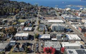
EVERETT — If you exhaled a deep sigh of relief when the smoke cleared out of Snohomish County two weeks ago, it might be time to start holding your breath again.
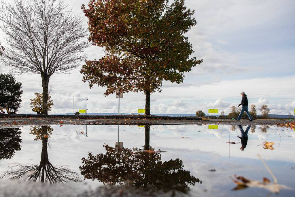
Western Washington’s rainy season is well underway, having broken a months-long dry spell that contributed to historic wildfires and hazardous air quality this summer. But the welcome rainfall now poses risks in the burn scar left by the nearly 15,000-acre Bolt Creek fire, and experts say that will be especially true in the next few days.
On Wednesday, the National Weather Service’s Seattle office predicted heavy rain and powerful wind gusts across the region on Friday and Saturday. An atmospheric river is expected to bring a burst of warm air, followed by “sharply colder” temperatures as rain tapers off into the weekend, said Dustin Guy, a meteorologist at NWS Seattle. Atmospheric rivers are a weather term to describe relatively long, narrow regions in the atmosphere that transport most of the water vapor outside of the tropics.
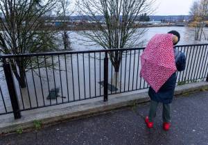
Also on Wednesday, the National Weather Service placed Snohomish, King and Mason counties on flood watch. Guy said that while experts can’t yet predict if or how much flooding will happen, locals should keep a close eye on river forecasts going into the weekend.
“Rivers will definitely be rising noticeably, so some flooding in parts of the county is possible,” Guy said. “But it’s too early to say for sure until we see what we’re getting.”
Up to 2 inches of rain could fall on Everett between Thursday night and Saturday morning, and parts of eastern Snohomish County may get up to 4 inches, according to the forecast. Inland towns like Darrington and Granite Falls have a chance of snow as the weather chills early next week.
Guy warned wind gusts of up to 35 miles per hour in the Everett area may knock over trees and cause widespread power outages, and western Whidbey Island could see gusts up to 55 miles per hour.
Flooding is expected this time of year as rains begin in earnest, with early November being “prime time,” said Scott North, a spokesperson for the Snohomish County Department of Emergency Management. What can’t be anticipated is how this annual deluge will impact vast swaths of land burned by wildfire.
The Bolt Creek fire left thousands of acres completely without vegetation that would usually absorb rainfall, North said. This scarred land acts essentially as “concrete,” repelling water and forcing it to flow downhill. That’s an especially dangerous combination in the mountainous terrain surrounding the Skykomish River valley, where flash floods and debris flows are possible in the fire’s aftermath.
The National Weather Service issued a flash flood watch for the Bolt Creek burn scar on Sunday as the Puget Sound Convergence Zone created the potential for especially intense rainfall. The warning expired Monday night.
Guy emphasized that heavy rains on their own don’t guarantee slides will happen. Rain needs to fall at a certain rate of intensity before that’s likely, he said.
U.S. Geological Survey landslide data suggests that some parts of the burn scar, including an area east of Baring and another north of Grotto, have a 60-80% chance of debris flows if rainfall reaches a 15-minute peak rate of 24 millimeters per hour. It’s unlikely the area will see anything close to that this week, said Jacob DeFlitch, another meteorologist at the National Weather Service, but the agency is keeping a close eye on the burn scar as the weather system sweeps in.
Snohomish County’s online Bolt Creek public safety hub and Hazard Viewer are good resources for residents and travelers concerned about debris flow or flood risk, North said. Real-time river levels and flood warnings can be checked online at snohomish.onerain.com.
Some things about this flood season are unexpected, but longtime Snohomish County residents will recognize some familiar guidance. North recommended regularly checking state Department of Transportation traffic maps for road closures when floods are likely and doing your research if you’re planning to travel through areas impacted by wildfire.
“Washington drivers should know better than to drive into standing water on a roadway or going out unprepared,” North said. “We all need to pay close attention to the regular risks and especially to the new ones, which are going to be with us for months or years.”
Riley Haun: 425-339-3192; riley.haun@heraldnet.com; Twitter: @RHaunID.