
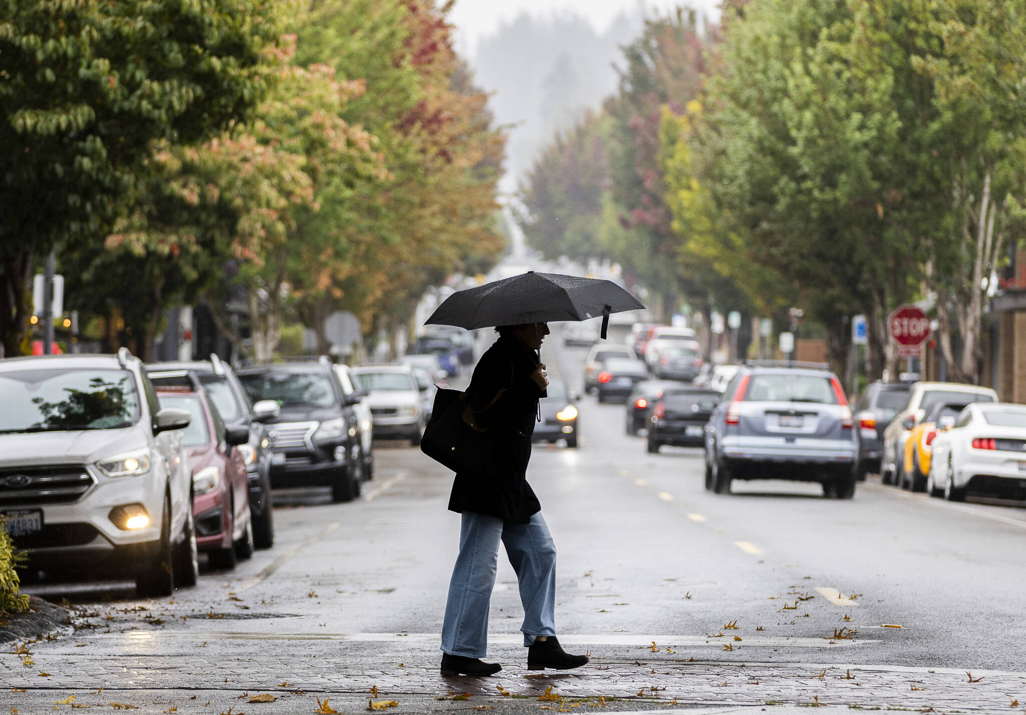
EVERETT — After a sunny September, the fall rain has finally come to western Washington. The National Weather Service is predicting rain for Snohomish County through Thursday night, with the possibility of showers continuing into the weekend.
Monday started the week off with warm drizzling showers and patchy fog. Forecasted daytime temperatures could reach 62 for the Everett area, with even warmer temperatures predicted farther inland.
A stronger front is expected to move in on Tuesday, bringing more rain, breezy to gusty winds and a slight chance of thunderstorms. There is a 40-60% chance of winds reaching 35 mph on Whidbey Island, and the Everett area seeing potential gusts of 29 mph on Tuesday night with continued winds on Wednesday reaching up to 23 mph.
The Everett area could receive nearly an inch of rain by Wednesday evening before the front rolls through, said National Weather Service meteorologist Logan Howard.
“After that, the showers just slowly taper off throughout the day on Thursday, and then the uncertainty gets a little higher for the end of the week into the weekend,” he said. “But generally, we still have chances for some showers in the forecast since there’s the potential for another system to move in late this week.”
Even with the rain, most of Washington remains in severe drought conditions, with parts of the North Cascades, including the eastern portion of Snohomish County, being in extreme drought.
“The forecast is for drought to remain, but improve, which makes sense as we get into fall,” Howard said. “We’ll get some more consistent rainfall, and that should help improve it, but right now, the forecast through the end of the year still has drought for most of the area.”
Eliza Aronson: 425-339-3434; eliza.aronson@heraldnet.com; X: @ElizaAronson.
Eliza’s stories are supported by the Herald’s Environmental and Climate Reporting Fund.
Talk to us
> Give us your news tips.
> Send us a letter to the editor.
> More Herald contact information.


