Congratulations, you survived Everett’s second-wettest fall
Published 4:35 pm Thursday, December 2, 2021
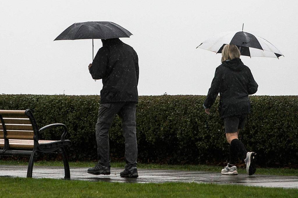
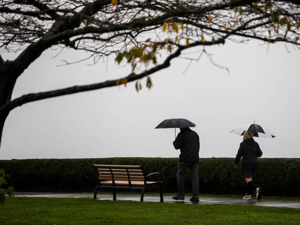


EVERETT — Let’s call it the Soggy Darkness.
With 14.9 inches of rain crashing down, this was the second-wettest “meteorological” fall on record at Paine Field since 1948.
Only the soggy fall of 2016 had more rain, when 16.4 inches fell in the calendar months of September, October and November.
Many parts of Western Washington were hit even harder. Seattle surpassed 19 inches, the most since record-keeping began there in 1945. And Forks lived up to its “Twilight” fame, getting more than 60 inches.
November was especially wet — the seventh-rainiest at Paine Field in Everett, with 6.6 inches — as atmospheric river after atmospheric river pummeled the region.
Nov. 15 alone brought nearly an inch of rain at Paine Field, and Western Washington saw significant flooding. By then, so much water was sloshing in the Spada Lake reservoir that the Snohomish County Public Utility District had to do an emergency release of water at Culmback Dam.
Paine Field doesn’t tell the whole story. Other parts of Snohomish County saw even more precipitation, according to measurements taken by volunteers with the Community Collaborative Rain, Hail & Snow Network.
According to the network, much of Snohomish County got more than 8 inches of rain last month. Sites near Monroe, Lost Lake, Marysville and Arlington recorded over 10 inches. And 20¾ inches of rain deluged the 1,000-something people living in the mountain town of Darrington.
All the rain is notable in that it came after an especially hot and dry summer that included a record-shattering heatwave and drought in much of the state.
We’re no longer parched. All our layers of clothes are soaked through. Once brown and brittle lawns have turned to spongy green messes.
The rain doesn’t erase all our worries.
Instead, we get to be anxious about other things, like landslides. Nothing major has happened yet, but the risk is still present.
[infogram id=”6521a7f4-14bf-4924-8790-887ee4578b56″ prefix=”fdR” format=”interactive” title=”Paine Field rain”]
And with not one but three “Pineapple Express” rain systems hitting the region, the unseasonably warm weather has made climate change top of mind.
On Nov. 14, the mercury reached 60 degrees at Paine Field. The temperature didn’t reach below freezing once, though higher elevations got a little frosty at times.
Wednesday was the first day of “meteorological” winter, but it didn’t feel like it.
That morning, the National Weather Service in Seattle noted the temperature in Everett, somewhere in the 50s, was the same as the temperature in Texas along the Mexican border.
It came as bad news for ski bums. Stevens Pass had to push back its opening date from Friday. There have been no updates on when the slopes might open.
Karin Bumbaco, assistant state climatologist, said fall temperatures have been warming statewide because of climate change. This past month, she wrote in an email to The Daily Herald, was an example of how snowpack might not build up like usual in a warming world. Precipitation fell mostly as rain instead of snow in the mountains, causing flooding downstream.
“While we can’t blame one warm month on climate change, it’s consistent with the long-term warming trend we have seen and that we expect to see continue,” she wrote.
Winter is coming, though.
“December looks typical wintry,” said Mike McFarland of the National Weather Service in Seattle.
He said “a nice little cold front” is coming this way Saturday, bringing snow to the mountains and maybe even to the lowlands. (People in lower elevations will more likely see cold rain or a wet snow-rain mix, he noted.)
In Everett, temperatures should dip to the 30s.
Throughout the winter, we can expect yet more precipitation.
The National Oceanic and Atmospheric Administration’s Climate Prediction Center expects above-average precipitation and below-average temperatures statewide.
La Niña is making herself comfortable.
The weather phenomenon means colder than normal temperatures have been recorded in the ocean, leading to wetter and colder weather in the Pacific Northwest.
McFarland found it interesting that a La Niña year could start out so warm. But he expected plenty of snow to come to the mountains this winter. The powder should be especially good in February, he guesstimated.
One thing we can predict for sure is that it will be increasingly dark for a while longer.
Our days have been dominated by clouds.
On Friday, the sun rises at 7:41 a.m. and sets at 4:16 p.m. Less than 8½ hours of daylight.
Winter solstice is Dec. 21.
Then, finally, the days will get longer again.
Zachariah Bryan: 425-339-3431; zbryan@heraldnet.com. Twitter: @zachariahtb.