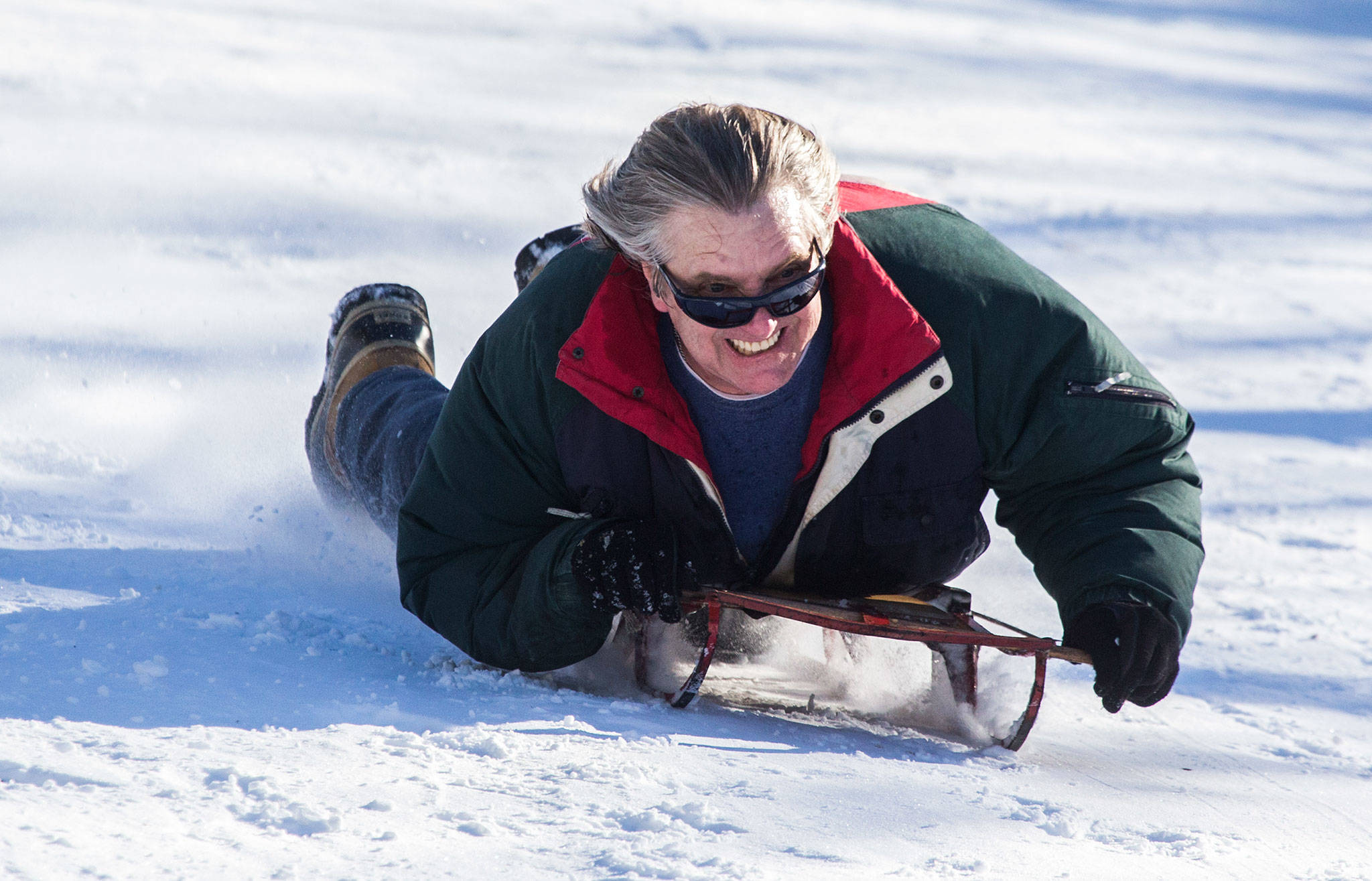
EVERETT — If you felt like you got more snow early in the week than your friends in King County, it wasn’t just you.
People reported upward of 10 inches in Snohomish County while Sea-Tac Airport, the official measuring spot for the National Weather Service, only saw a couple.
National Weather Service meteorologist Mike McFarland said the extra powder wasn’t the result of the common culprit, the convergence zone, where two wind currents meet and create precipitation.
Rather, McFarland said, “it was just luck of the draw.”
The snow brought much of the county to a halt. All colleges and school districts in Snohomish County were closed, except for in Index, where start times were pushed back two hours. Many transit buses were about an hour behind schedule. Snow routes were in effect in many places.
While some urban streets and roads were cleared of Monday’s unusually deep snow, overnight cold temperatures prevented thawing going into Tuesday. Driving was hazardous and many streets were icy.
Dozens of snow plows cleared about 450 miles of county roads Monday night. Crews planned to work at all hours until conditions improved. The county asked drivers who may be following snow removal equipment to leave about 200 feet of space.
The county prioritizes certain routes for snow and ice removal, then moves on to secondary roads.
With temperatures remaining below freezing Tuesday, and possibly dropping into the teens at night, Wednesday could be a similar story. It should warm up later in the day, though, with a high of 37, according to the National Weather Service. Thursday could get up to 40.
If the ice does thaw, people may have only a brief reprieve. Forecasters said another round of cold and snow appears to be headed our way, courtesy of northern winds blowing through British Columbia.
That reinforcing shot of cold air could bring lowland snow again Friday and Saturday, the weather service said.
McFarland said weather models show similarities to the event earlier this week.
“In many ways it looks like a twin,” he said.
However, the weather could be a little warmer and a little wetter, he said.
There are hints that Snohomish County may not be hit as hard, McFarland said. An easterly wind could cause more precipitation near the Hood Canal, but ease up across Puget Sound.
This is early though, he said, and that’s mostly conjecture.
Cold snaps aren’t unusual in Western Washington, McFarland said, but this one may be longer than the typical three-to-five days. Long-range forecasts show below-average temperatures for the next week or so, he said.
“This seems like it may be a bigger deal than we’ve had for a while,” he said.
Snohomish County road maintenance director Steve Flude said he’s ready.
“We have plenty of sand and salt to use,” he said in an email. And just in case, the county is ordering more before the weekend.
Zachariah Bryan: 425-339-3431; zbryan@heraldnet.com. Twitter: @zachariahtb.
Advisories
• WSDOT highways map and cameras
• Snohomish County snow and ice response
—
Talk to us
> Give us your news tips.
> Send us a letter to the editor.
> More Herald contact information.


