Lake Stevens, Marysville seek Bayview Trail design input
Published 1:30 am Sunday, April 30, 2023
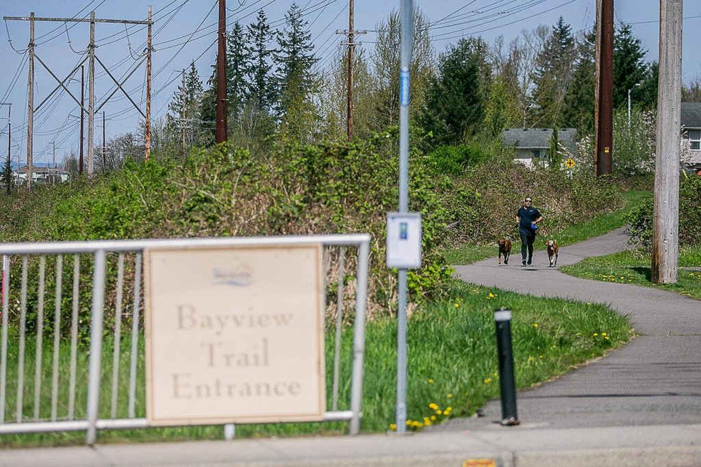
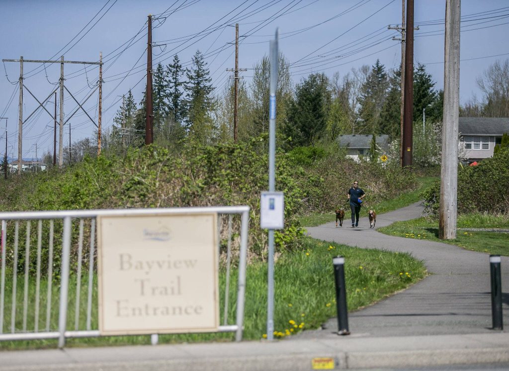


A nearly 5-mile paved trail planned between Lake Stevens and Marysville, opposed by some adjacent property owners, is on to its second round of design input through May.
The cities are hosting an online survey for feedback on elements of the Bayview Trail’s proposed design, which is not yet completed, until May 30.
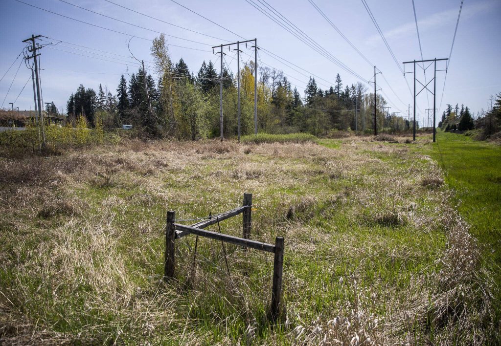
The overall idea is to turn a series of unofficial paths along the dirt and gravel road beneath high-tension power lines into a paved asphalt trail. It would be 12 feet wide with 2 feet of gravel shoulder on each side from 64th Street NE in Marysville (which doubles as Highway 528) to 20th Street SE in Lake Stevens.
Lake Stevens and Marysville city leaders see it as a way to connect neighborhoods and communities west of Highway 9. Early estimates for Marysville pin the cost around $8.4 million and nearly $10 million for Lake Stevens, Miller said.
“It’s basically to provide good recreational resource for the community,” Marysville project manager Steve Miller said. “Our purpose in going forward would be to make sure the trail is located so we’re minimizing our impacts, both for the environment and the public.”
In some spots, the trail could leave the utility corridor and join city streets to avoid critical areas with steep slopes, utility infrastructure and wetlands. Where it meets city streets, the path is likely to be a shared-use path or a protected bike lane and sidewalk, according to the survey.
If avoiding wetlands isn’t possible, boardwalks could span some areas to keep feet and wheels dry.
Past public input on comprehensive plan and parks plan updates has listed trails as a top priority, Lake Stevens Parks planning and development coordinator Jill Meis said.
“We know that our community really, really wants trails,” she said.
Marysville already has a northern segment of the Bayview Trail in place.
Lake Stevens initially pursued its portions as the Powerline Trail. Some neighbors have opposed signing easement agreements over concerns about additional traffic and bothering wildlife.
The Lake Stevens section from 20th Street SE to 8th Street SE could have picnic and play areas and a new dog park near its southern end.
New trailhead parking isn’t planned yet, but staff at both cities are looking at opportunities for that. For now, the idea is to use existing parking along streets and at some parks for people who want to reach the trail. Ideally, it becomes an asset to people who live within rolling and strolling distance of one of its many access points.
“If we can get people moving on foot or on bicycles, or giving up a vehicle for that, that’s a win-win for us,” Meis said.
Where the trail crosses roads, different trail crossings are proposed depending on the kind of street and traffic it sees. For less busy areas, a marked or raised crosswalk is proposed.
Crossing Highway 204 and other stretches with heavy traffic would need a signal. The trail diverts from the utility corridor as it reaches Highway 204 in Lake Stevens so people can use the existing pedestrian signals at the Market Place intersection.
Maintenance agreements haven’t been made yet, but it’s likely the cities and Snohomish County would each tend to the sections in their respective jurisdictions, Meis and Miller each said.
Have a question? Call 425-339-3037 or email streetsmarts@heraldnet.com. Please include your first and last name and city of residence.