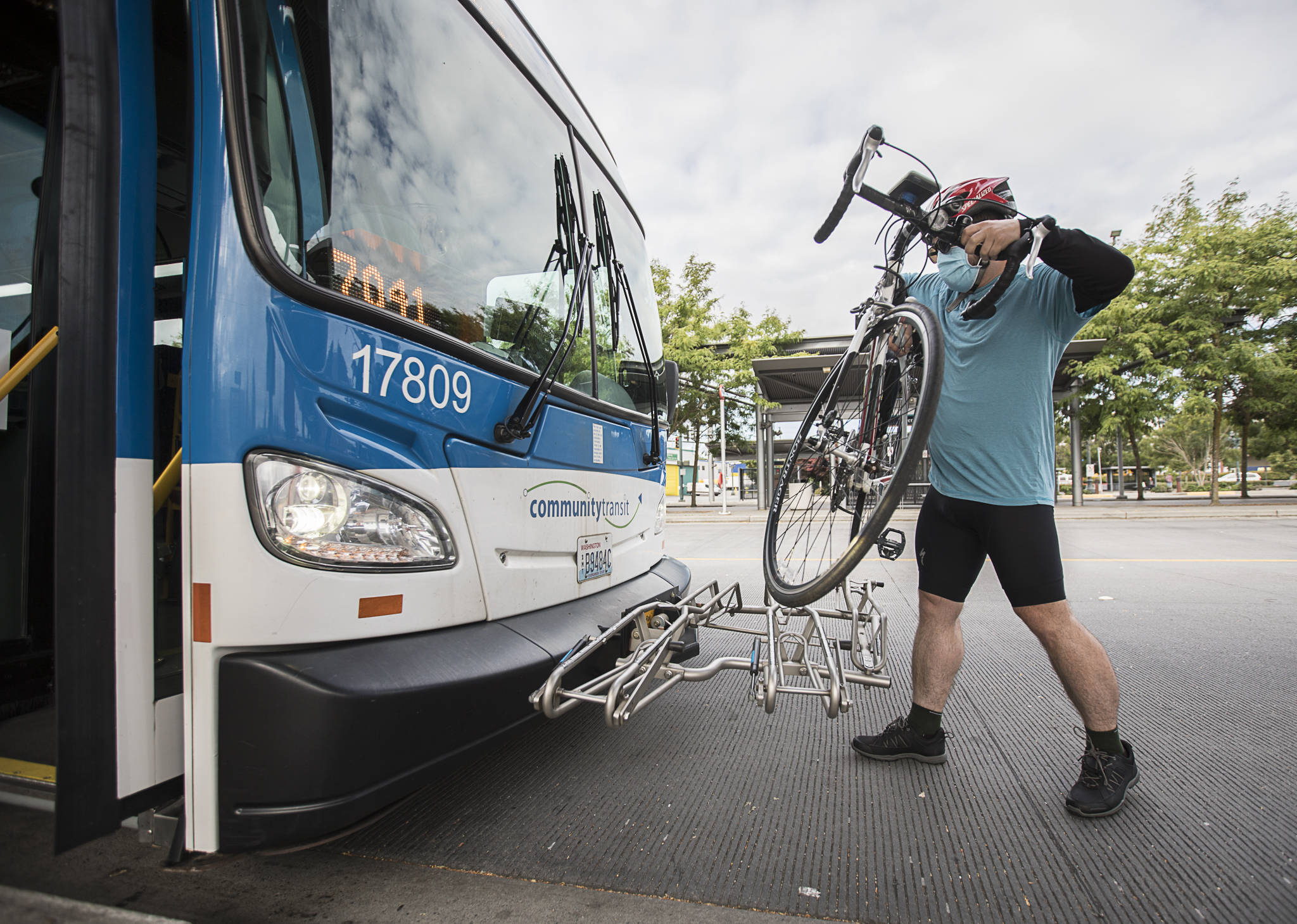
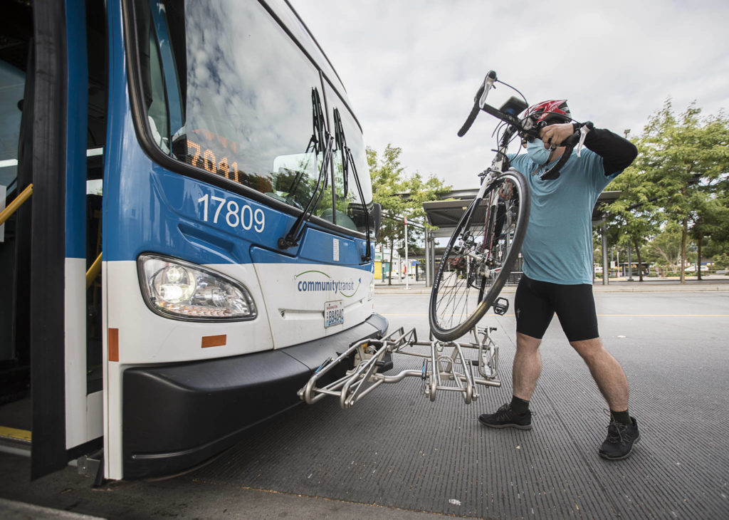
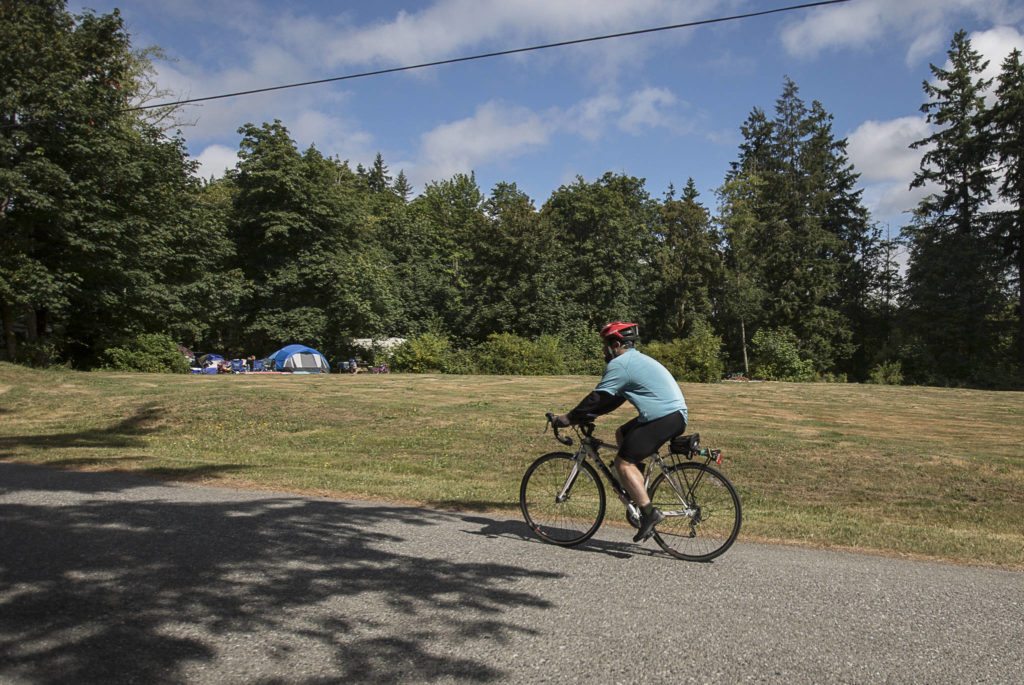
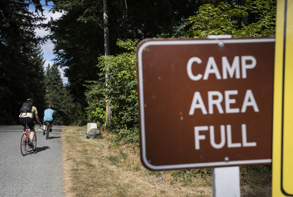
It was supposed to be a brisk seven-mile ride.
Based solely on a map app’s measurement, the distance seemed easily manageable to bike from the Smokey Point Transit Center to Wenberg County Park. But the elevation and ardor of the trek were less apparent to me, the bad “bikepacking” planner.
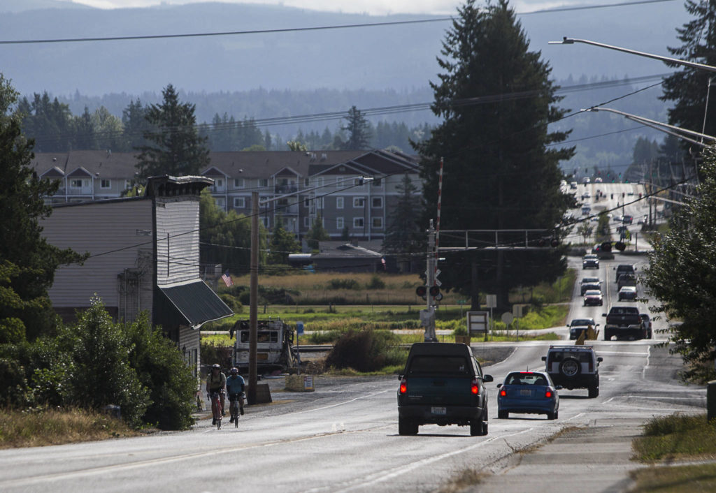
I just didn’t know that it was basically an uphill climb the entire way or that the road, mostly one lane in each direction, had little to no shoulder room for Herald writer Zachariah Bryan and I to ride along and let vehicles pass us with the legally required three feet separation.
“There were a number of moments where I thought I was going to die, maybe not die, maybe get hit,” Bryan said.
As part of my commitment to explore active transportation (biking, busing and walking), I wanted to scout a possible site in Snohomish County to ride a bike and camp overnight. Wenberg County Park on Lake Goodwin near Stanwood seemed an ideal candidate: reachable by bike (at least based on a cursory evaluation of distance, a rookie mistake), kind of close to a bus route, and near water.
The park, formerly run by the state until 2009 when Snohomish County took it over, covers about 46 acres, has a boat ramp and 67 campsites. It’s one of six county parks where camping is allowed.
Initially, I considered biking from downtown Arlington to Whitehorse Campground in Darrington. But I scrapped that for a few reasons: the main cycling route there, the 27-mile Whitehorse Trail, has some closed sections; it’s a gravel path and my shallow-tread, thin road bike tires aren’t suited for anything that loose; and the campground is largely suited for RVs and trailers (as well as horses), not for tent camping.
Instead, I picked a county campground that on weekdays has a Community Transit route nearby and on weekends is within 10 miles. From a simple map, a mere seven miles separated the transit center and the park.
Community Transit’s 201/202 route driver picked us up from Everett Station around 8:25 a.m. and had us to Smokey Point just after 9 a.m. Saturday.
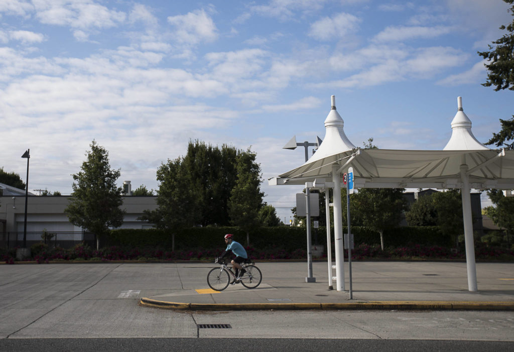
We biked from the transit center just north of 172nd Street NE/Highway 531, south to the highway then turned west. We kept on the sidewalks, slowly navigating the Byzantine network of curb ramps, crosswalks and pedestrian signals across the ramps to and from I-5.
Traffic dissipated beyond the busy commercial area, but so did the curb sidewalks. West of the roundabout at 23rd Avenue NE, the lanes dropped to one in each direction with little room for a shoulder. This was fine as we pedaled on a slight incline straight toward the junction at Forty Five Road, where the highway bends northwest.
This was our first water break/leg rest. More came later.
From there, the true climb began.
Surrounded by trees, the shade at least kept us cool but also made us less visible. Thankfully we wore bright colored tops and kept as far right as the narrow shoulder allowed.
We pedaled past Lake Ki, where the incline leveled off for a bit before rising again. Then we needed another water stop, which also let drivers breeze by us on the curvy road.
Near the turn south to Lake Goodwin Road, the hill eased a bit into a drop for a short stretch but quickly resumed its uphill beat, much to our dismay.
We climbed on, eventually coming to a crest before dropping down to the park’s entrance. It was sweet relief to see the tents and the ticket booth, plus photojournalist Olivia Vanni who graciously offered to drive us back in her SUV.
“I’m pretty sure I could hear my legs weeping from that uphill,” Bryan said. “I would not recommend that route to anybody.”
Based on my MapMyRide app’s map evaluation, it was about 630 feet of elevation gain. When you’re in a vehicle, that clips by in just minutes. By bike it took about an hour.
As a recon ride, neither of us had strapped on our camping gear. The idea of adding at least another 20 pounds to our bikes for the ride is a hill neither of us are eager to climb.
Instead, we’re looking at other county options for an overnight bike and camping trip this summer. I’m thinking River Meadows County Park along the Stillaguamish River east of Arlington could be an ideal candidate. I’ll just make sure to check the elevation gains first.
Have a question? Call 425-339-3037 or email streetsmarts@heraldnet.com. Please include your first and last name and city of residence.
Talk to us
> Give us your news tips.
> Send us a letter to the editor.
> More Herald contact information.
