
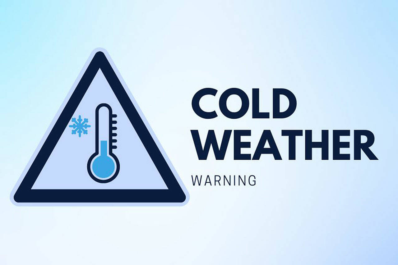
EVERETT — It could be a white week before Christmas.
Don’t be lulled into a false sense of complacency by the dry air and melting miniature mounds of old gray snow. A fresh round of flakes is possible Sunday or beyond. The mountains are already sporting winter caps.
“It’s a complicated forecast coming up,” said Dustin Guy, a meteorologist with the National Weather Service in Seattle.
Snowfall could measure an inch or two starting Sunday evening and into Monday.
“It should be light. At least that’s how it looks for now,” Guy said.
The wave of colder air causes uncertainty about what’s next on tap.
“My best advice is that anybody with travel plans in the middle part of next week should definitely keep an eye on the forecast,” he said.
Snow on Christmas Day is TBD.
“After the cool spell there’s potential for us to warm up,” Guy said. “The transition period could be messy, with heavy wet snow or sleet. The details are still highly questionable how it will play out.”
Check for updates with the state Department of Transportation if you’re heading to Leavenworth to see the lights or to ski resorts that require travel over Stevens Pass on U.S. 2 and Snoqualmie Pass on I-90. The WSDOT app and website, wsdot.com/travel, has real-time updates.
If you haven’t already, pack a bag in your car with blankets and snacks as well as an emergency road kit. Charge your cell phone before hitting the road.
At home, make sure exposed water pipes and hose bibs are wrapped. Keep boots and mittens handy for the kids. Don’t forget the furry ones. Christmas sweaters for pets are cute and functional on walks and trips to the park, but those living outside need shelter or some form of protection.
Think it’s cold here? Those living in Kenai, Alaska, face a low of minus 20 and a high of minus 2 on Sunday and Monday.
Andrea Brown: 425-339-3443; abrown@heraldnet.com; Twitter: @reporterbrown.
Talk to us
> Give us your news tips.
> Send us a letter to the editor.
> More Herald contact information.

