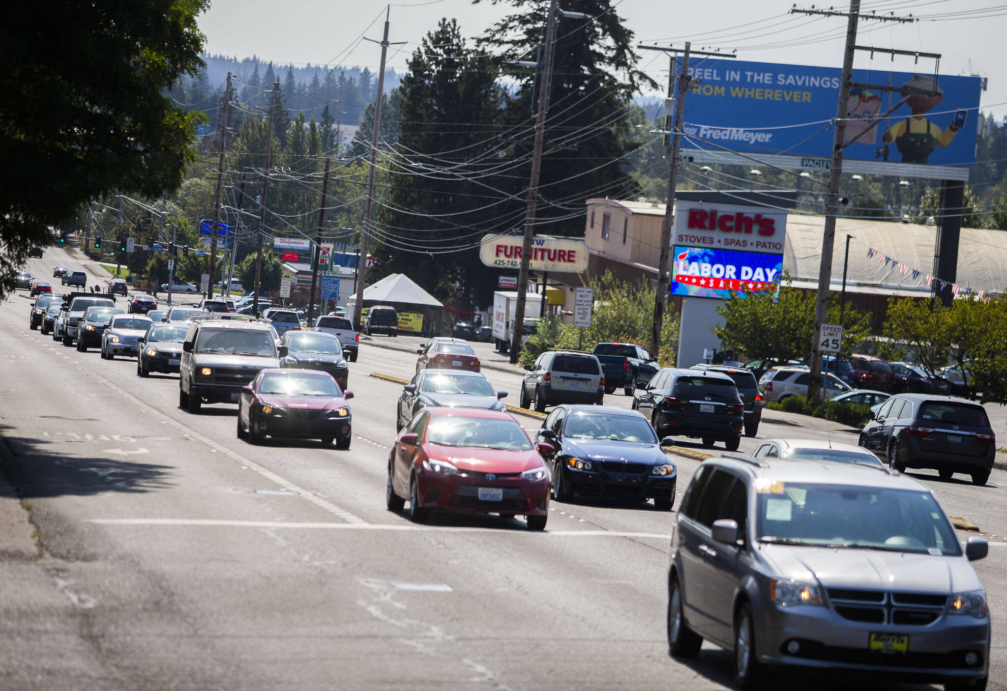
Highway 99 between Everett and Lynnwood someday could be safer for bicyclists, drivers, rollers and walkers, and buses could get a new lane to share with right turns.
Parts of the 3½-mile stretch between 168th Street SW and Airport Road are missing sidewalks. Crosswalks are over a half-mile apart.
Between 30,000 and 40,000 vehicles used it every day last year, according to state data. That amount of traffic combined with high speeds on the highway with a 45 mph speed limit has led to plenty of collisions, including with pedestrians.
The Washington State Department of Transportation is evaluating the corridor for safety improvements, starting with an online open house and survey through the end of the month at bit.ly/3Dc0hds. Staff are considering bike lanes, trails and sidewalks and reducing the speed limit, but the final combination remains to be determined.
“It’s still too early to say what changes could be proposed by the study,” WSDOT spokesperson Lauren McLaughlin wrote in an email. “In this phase we’re looking at the safety data and talking with the community to get a better understanding of what they feel would improve the corridor and make it safer for everyone whether they’re driving, walking, biking or using assistive mobility devices.”
About 30% of crashes between 2016 and 2020 resulted in an injury, according to state data. Most, about 43%, were rear-end collisions. Left turn and angle crashes followed at 26%.
Pedestrians and cyclists were involved in about 3% of those crashes, but accounted for 41% of serious injuries or fatalities.
Most of that highway section is in unincorporated Snohomish County. The roadway and sidewalks are the state’s responsibility.
The county had the section from 148th Street SW to Airport Road on its list of regional priorities, Snohomish County deputy director Doug McCormick said. Adding a business access and transit lane to the shoulder could move buses, especially Community Transit’s Swift Blue bus rapid transit, faster on the often traffic-clogged highway.
“We’ve been sponsoring that project for many years in support of Community Transit,” McCormick said.
Making the shoulder into a bus lane could require some construction and more road width, both of which would be determined in the design process later. During the pandemic, Swift ridership didn’t decline as sharply as other routes.
High-capacity transit like Swift and the coming light rail could be joined by new housing and retail construction in the area. Snohomish County already has the corridor zoned for commercial, housing and industrial land uses, long-range planning manager David Killinstad wrote in an email. The county’s Comprehensive Plan envisions that stretch as continuing that kind of mixed use and higher density.
The state plans to share its potential improvement concepts this winter and gather more input, then publish a report on it in spring.
Have a question? Call 425-339-3037 or email streetsmarts@heraldnet.com. Please include your first and last name and city of residence.
Talk to us
> Give us your news tips.
> Send us a letter to the editor.
> More Herald contact information.


